
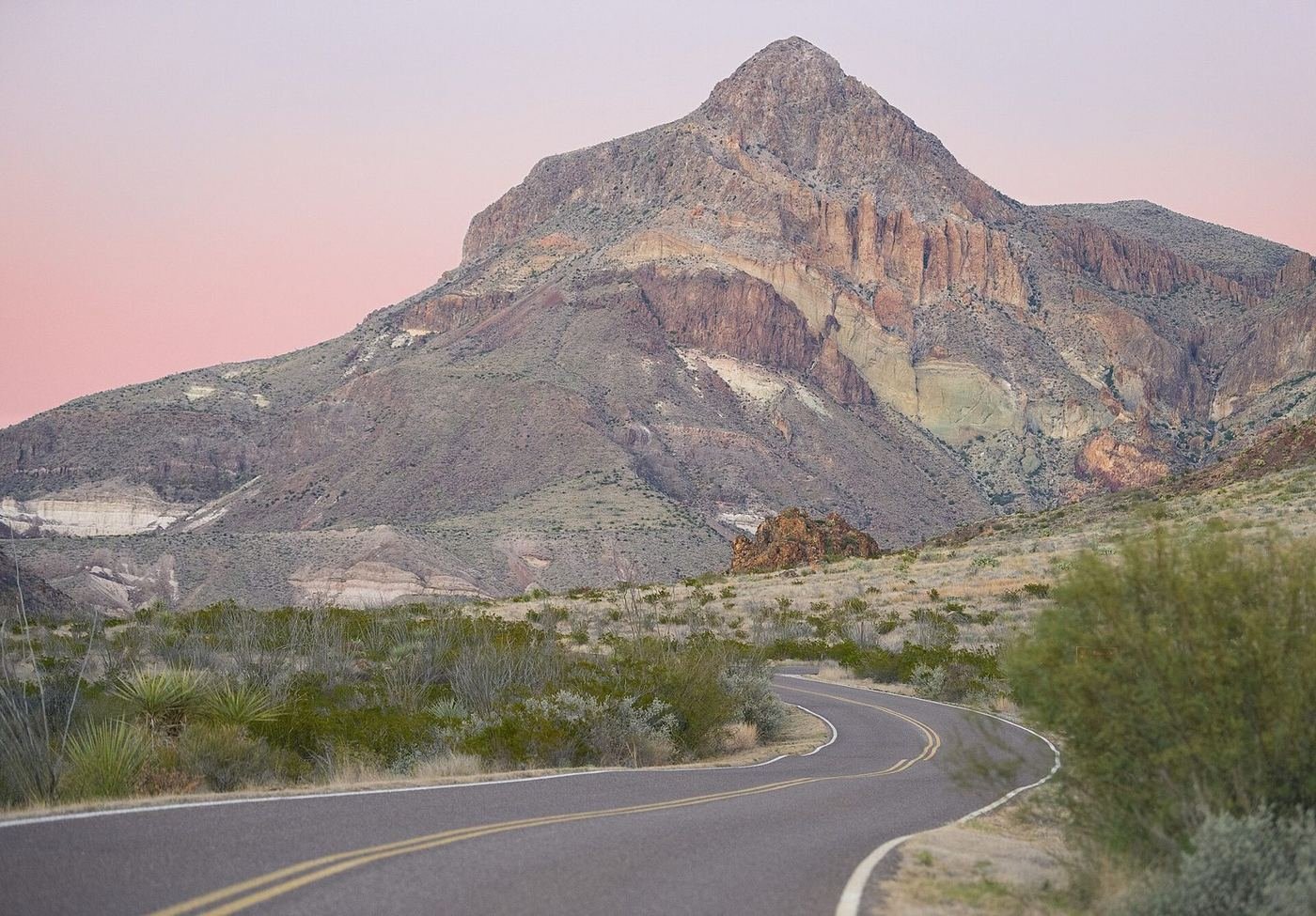
Big Bend sits in a great bend of the Rio Grande in far West Texas, with desert, canyon, and mountain landscapes all in one park, and it's remote enough that you'll often have trails to yourself. This is how I'd rank what's worth the drive.
Best Time of Year to Visit, and Why
I'd go from November through April, with February and March as the sweet spot. The temperatures are comfortable in the lowlands, the mountains can be cool, and the skies are clear. Spring brings wildflowers and the busiest crowds around Spring Break.
Summer is hot, with desert temperatures often above 100°F and thunderstorms in the monsoon season. If you do go, I'd stick to the Chisos Mountains and plan outdoor time for early morning.
How Big Bend Compares to Guadalupe Mountains
They're both West Texas parks, so here's how I'd choose.
| Big Bend | Guadalupe Mountains | |
|---|---|---|
| Headline | Desert, river canyon, and mountain basin | Texas's highest peak and a desert mountain range |
| Remoteness | Very remote, very large | Remote and small |
| Crowds | Light, busiest in spring | Very light |
| Hiking | Canyon walks and mountain trails | Strenuous mountain hikes |
| Best for | Variety and stargazing | Serious hikers seeking solitude |
If I could pick one, I'd pick Big Bend for the variety and the river. I'd pick Guadalupe Mountains only if you're a serious hiker looking for solitude.
Hiking Checklist — Big Bend National Park
Heat, distance, and remoteness drive my kit here:
- A gallon of water per person per day — more for longer hikes, and a reserve in the car.
- A full tank of gas — fuel is limited and distances are long.
- A wide-brim hat and sunscreen — there's almost no shade at lower elevations.
- Layers — the Chisos Mountains are 10 to 20 degrees cooler than the desert floor.
- An offline map — cell service is nonexistent across most of the park.
- A headlamp — sunset hikes end in the dark.
The 10 Best Things to Do in Big Bend National Park
-
1. Hike Lost Mine Trail
A ridgeline climb with views of two canyons. The best day hike in the Chisos. 4.8 mi RT, moderate, 3 hrs.
-
2. Walk into Santa Elena Canyon
A short climb and a flat walk between 1,500-foot cliffs on the Rio Grande. 1.7 mi RT, moderate, 1.5 hrs.
-
3. Hike the Window Trail at sunset
A trail down to a notch that frames the desert below. 5.6 mi RT, moderate, 3 hrs.
-
4. Drive the Ross Maxwell Scenic Drive
A 30-mile road to the river with overlooks at Sotol Vista, Mule Ears, and Tuff Canyon. 2–3 hrs.
-
5. Soak at the Hot Springs
A short walk to the ruins of an old resort and a hot spring on the river. 1 mi RT, easy, 45 min.
-
6. Walk Boquillas Canyon
A short trail into the mouth of the canyon with a sand dune at the end. 1.4 mi RT, moderate, 1 hr.
-
7. Cross into Boquillas, Mexico
A short crossing to a small village with a restaurant. Requires a passport, and its status changes, so check ahead. Half day.
-
8. Hike Mule Ears Spring Trail
A desert walk to a spring below distinctive twin peaks. 3.8 mi RT, moderate, 2.5 hrs.
-
9. Stargaze
Big Bend is an International Dark Sky Park with some of the darkest skies in the lower 48. The Chisos Basin and Rio Grande Village are two good spots.
-
10. Visit Terlingua Ghost Town
An old mining town just outside the park, with a historic cemetery, shops, and a well-known restaurant. 1–2 hrs.
Build Your Big Bend Trip, Free
I built ParkPlan to turn a list like this into a real day-by-day itinerary with your own dates, travelers, and budget.
Start My Big Bend Trip → Or see my full 1, 2 & 3-day Big Bend itineraryNearby Parks to Pair With Big Bend
Building a longer road trip? These guides sit within a day's drive of this one.
Trail stats, border crossing status, and fuel availability are accurate as of publication but change — always confirm current conditions, road status, and reservation rules at nps.gov/bibe before you go.