
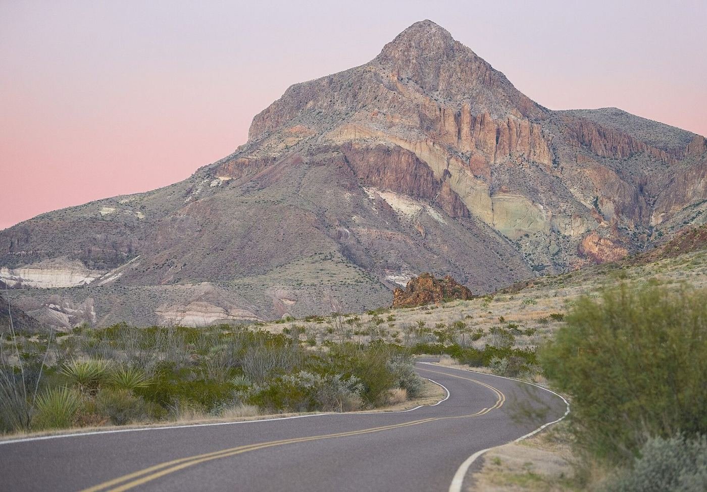
Big Bend is one of the most remote national parks in the lower 48, and the distances are the first thing you have to take seriously. The nearest big town is a couple of hours away, the nearest commercial airport is about three and a half hours, and inside the park, the main sights are 30 to 70 miles apart. A trip here is built around driving, and I'd put that front and center in the plan.
What makes it worth it is that the park is three different landscapes in one: the Chihuahuan Desert, the Rio Grande canyons, and the Chisos Mountains rising out of the middle at nearly 8,000 feet. I'd give it at least three days, and I'd organize them by region rather than trying to cover everything.
If You Only Have 1 Day: The Chisos Mountains
If I only had one day, I'd spend it in the Chisos Mountains, where the park's best day hikes are within a 20-minute drive of each other. The mountains are the surprise, rising out of the desert into cooler, forested terrain, and it's the part most visitors say they didn't expect.
Lost Mine Trail — the signature day hike
A steady climb along a ridge with views of Juniper Canyon and Pine Canyon, ending at a panoramic overlook. It's the best effort-to-view ratio in the mountains, and it's best in the morning when it's cool and the light is soft.
Window Trail — the sunset hike
A trail from the Chisos Basin down through a canyon to a notch in the rock called the Window, which frames the desert below like a picture. It's the classic sunset spot, but the walk back up is uphill, so I'd carry a headlamp.
Chisos Basin Loop Trail — the short option
A short, scenic loop above the basin that's a good option if you don't have time or energy for the longer trails.
If you have energy, the Window View Trail, a 0.3-mile paved walk, is a good sunset alternative that doesn't require the full hike down.
Got a 2nd Day? Santa Elena Canyon and the Ross Maxwell Drive
The second day is a long, scenic drive to the western end of the park and the Rio Grande, with stops along the way. It's one of the best drives in Texas, so I'd take it slowly.
Santa Elena Canyon Trail — the Rio Grande canyon
A short but steep climb up stone steps to a view of the canyon, then a flat walk along the river with 1,500-foot cliffs on both sides. It's the best short walk in the park, and the place where the scale of the Rio Grande canyon becomes clear. Check the river level and any rain forecast, since the creek crossing can be difficult.
Ross Maxwell Scenic Drive — the stops along the way
A paved road that runs from the Chisos junction to the river, with pullouts at Sotol Vista, Mule Ears viewpoint, Tuff Canyon, and Castolon. It's a good drive on its own, with a series of big, changing views.
Mule Ears Spring Trail — the optional hike
A trail across open desert to a small spring below the Mule Ears peaks. It's a good option if you want a longer walk away from the crowds, but it's exposed and hot, so I'd go early.
The Full 3 Days — The Southeast Corner and Boquillas
The third day is the other side of the park, around the Rio Grande Village, which is a long drive from the Chisos but has a very different character: palm trees, a hot spring, and a view across to Mexico.
Hot Springs Historic Trail — the soak
A flat walk along the Rio Grande to the ruins of an old resort and a 105-degree hot spring right at the river's edge. It's best in the cooler months, and it's a good way to end a day of driving.
Boquillas Canyon Trail — the other canyon
A short trail into the mouth of Boquillas Canyon with a great sand dune at the end. It's much quieter than Santa Elena, and the view of the canyon opening into the river is the payoff.
Boquillas crossing — the Mexico side
A short boat or walking crossing to the village of Boquillas del Carmen, Mexico, with a restaurant and a few shops. The crossing has opened and closed several times in recent years and requires a passport, so check its current status on the park's website before planning a day around it.
Where I'd Eat
Dining inside the park is limited to the Chisos Basin lodge restaurant and a couple of small stores, so I'd base meals in Terlingua, just outside the west entrance.
Chisos Mountains Lodge Restaurant
The only sit-down restaurant in the park, in the Chisos Basin, with big windows facing the Window. A convenient dinner after a hike.
View on Google Maps ↗Starlight Theatre Restaurant & Saloon
A famous Terlingua restaurant in an old ghost-town theater, with live music and a lively crowd. Put your name on the waitlist, then wander the ghost town.
View on Google Maps ↗High Sierra Bar & Grill
A casual Terlingua spot with Tex-Mex and weekend live music, a good counterpart to the Starlight.
View on Google Maps ↗Taqueria El Milagro
A small, popular taco stand in Terlingua, open in the evenings, that's an easy, cheap dinner.
View on Google Maps ↗Espresso y Poco Mas
A café in Terlingua for breakfast burritos and coffee before an early start.
View on Google Maps ↗Long Draw Pizza
A casual pizza spot in Terlingua with a patio, a good low-key dinner.
View on Google Maps ↗Where I'd Stay
Lodging inside the park is very limited, so I'd book early or plan on Terlingua and Study Butte.
Chisos Mountains Lodge
The only hotel in the park, in the Chisos Basin at about 5,400 feet, with sweeping views and cooler temperatures. It books out months ahead in the high season.
View on Google Maps ↗Chisos Basin Campground
A campground in the basin with views of the Window and easy access to trailheads. Reservations fill quickly in the cool season.
View on Google Maps ↗Terlingua & Study Butte
A handful of motels, cabins, and rentals just outside the west entrance, with the best food options and a lot of character.
View on Google Maps ↗Build This Exact Trip, Free
I built ParkPlan because I wanted this kind of plan for every park, not just the one I happened to write up. It turns this into a real day-by-day itinerary with your own dates, travelers, and budget.
Start My Big Bend Trip → Or see full park details first at parkplan.org/?park=big-bendNearby Parks to Pair With Big Bend
Building a longer road trip? These guides sit within a day's drive of this one.
Border crossing status, fuel availability, and trail conditions change often — always confirm current conditions, road status, and reservation rules at nps.gov/bibe before you go.