
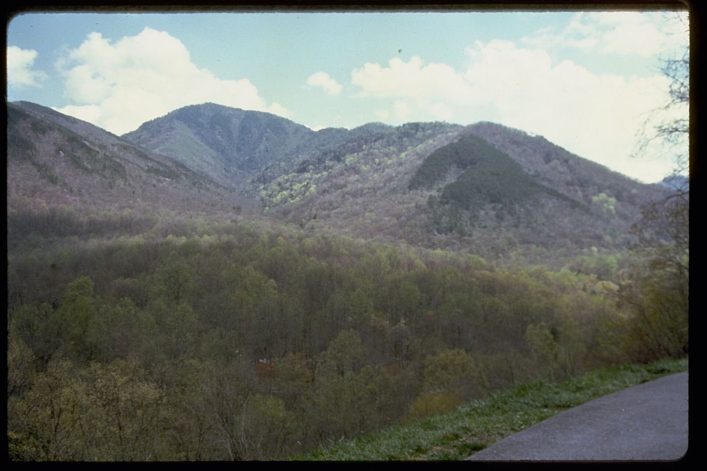
The Smokies pulled in roughly 11.5 million visitors in 2025 — more than double any other national park in the country, and it's held that top spot for decades. Part of that is simple math: it's free to enter and sits within a day's drive of about a third of the U.S. population. But most of those visitors do the same three or four things — Cades Cove, Laurel Falls, Newfound Gap — and there's a lot more park than that. Here's my real list, plus the planning details that actually change how good your trip is.
Best Time of Year to Visit, and Why
I'd go in late April through May for wildflowers, or October for fall color — here's my honest reasoning, not just a repeated rule of thumb. Spring brings a wildflower bloom locals call "spring pilgrimage," with dozens of species carpeting the lower-elevation trails before the tree canopy fully leafs out and blocks the light. Fall color usually peaks in the valleys in late October, a few weeks after it peaks at higher elevations like Kuwohi. Summer is the park's busiest and most humid season by far — the Smokies get their name from the natural haze that thickens in summer heat, and afternoon thunderstorms are common. Winter is quiet and can be genuinely beautiful, but Kuwohi's access road closes to vehicles from December through March, and some higher trails ice over.
How the Smokies Compare to Shenandoah
I get asked constantly whether someone should do the Smokies or Shenandoah if they're deciding between the two big Appalachian parks, so here's my honest comparison rather than a dodge:
| Great Smoky Mountains | Shenandoah | |
|---|---|---|
| Terrain | Deeper, wetter forest; higher peaks (up to 6,643 ft) | Narrower ridge along Skyline Drive; lower elevation |
| Signature drive | Cades Cove Loop — wildlife-rich valley loop | Skyline Drive — a full 105-mile ridge-top scenic byway |
| Entrance fee | Free (parking tag required) | Standard per-vehicle entrance fee |
| Crowds | The single most-visited national park in the country | Busy on weekends, noticeably quieter midweek |
| Best for | Waterfalls, old-growth forest, and reliable bear sightings | Ridge-top views and an easier, more linear road trip |
If I had to pick just one, I'd pick the Smokies for the sheer variety of hikes and waterfalls, and Shenandoah if a scenic drive with less crowd-navigating is what you actually want out of the trip. They're far enough apart that I wouldn't try to combine them on the same trip unless I had a full week or more.
Hiking Checklist — Great Smoky Mountains National Park
This is a wetter, buggier, more humid park than the desert Southwest, and I pack differently for it. Here's what I actually bring on every hike in the Smokies:
- A lightweight rain shell, always in the pack — afternoon storms build fast in summer, and the forest canopy won't keep you dry once it really starts coming down.
- Insect repellent — ticks and mosquitoes are a real presence on lower-elevation trails, especially near creeks, from spring through fall.
- Trail shoes with real tread, not sneakers — the trails here are rooty, rocky, and frequently damp, and creek crossings on foot-log bridges are common.
- Layers, even in summer — Kuwohi's summit sits nearly 6,000 feet above the valley floor and runs noticeably cooler and windier than the trailheads down low.
- A printed or downloaded trail map — cell service is unreliable to nonexistent through most of the park's interior.
- Basic black bear awareness — bears are genuinely common here, especially around Cades Cove. Keep your distance, never approach one for a photo, and store food properly at any backcountry site.
- A reusable water bottle or reservoir — there's more natural water here than in a desert park, but I still wouldn't drink straight from a stream without treating it.
The 10 Best Things to Do in Great Smoky Mountains National Park
-
1. Cades Cove Loop
An 11-mile, one-way loop through a broad valley dotted with historic churches, cabins, and a working gristmill — and the most reliable wildlife-viewing spot in the park. Go early or in the last two hours before sunset to beat the traffic and bear-jam backups. 11 mi loop, easy, 2–4 hrs.
-
2. Kuwohi (Clingmans Dome) Trail
A short, steep paved climb to the highest point in the park at 6,643 feet, with a 360-degree observation tower at the top. Renamed from Clingmans Dome back to its Cherokee name, Kuwohi, in 2024. The access road closes to vehicles roughly December through March. 1 mi RT, moderate, ~1 hr.
-
3. Alum Cave Trail to Bluffs
My pick for the single best "real hike" in the park for most visitors — through Arch Rock's carved stone tunnel, along an open streambed, and up to a massive overhanging bluff with sweeping ridgeline views. Continues on to Mount LeConte for anyone with a full day to spend. 4.6 mi RT, moderate, ~3 hrs.
-
4. Laurel Falls Trail
Paved almost the entire way to an 80-foot cascading waterfall, which makes it one of the most popular — and most crowded — trails in the park. Go at opening or plan to park down the road shoulder. 2.6 mi RT, easy–moderate, 1.5–2 hrs.
-
5. Rainbow Falls Trail
The tallest single-drop waterfall in the Smokies at about 80 feet, with mist that throws an actual rainbow on sunny afternoons. Crosses the creek on footbridges that have needed repair before, so check current trail status before you go. 5.6 mi RT, moderate–strenuous, ~4 hrs.
-
6. Chimney Tops Overlook Trail
A steep, rooty climb to an overlook with a sweeping view of the Chimney Tops peaks. The final approach to the peaks themselves has been closed since a 2016 wildfire scarred the area, but the overlook trail is open and still delivers the view. 3.5 mi RT, strenuous, 3–4 hrs.
-
7. Abrams Falls Trail
A rolling trail through hardwood forest to a wide, powerful waterfall with a genuinely large plunge pool — swimming is discouraged given the strong undertow, but it's one of the best picnic-and-photo waterfalls in the park. Accessed from within the Cades Cove area. 5 mi RT, moderate, 3–4 hrs.
-
8. Charlies Bunion via Appalachian Trail
A genuine stretch of the actual Appalachian Trail from Newfound Gap to a dramatic, exposed rock outcrop — and a good way to escape the crowds that cluster on the park's paved, roadside trails. Full-day commitment with no reliable water source along the way. 8 mi RT, strenuous, 5–6 hrs.
-
9. Mount LeConte via Alum Cave Trail
The park's classic full-day summit push, continuing past Alum Cave Bluffs to the top of Mount LeConte — and the only way to reach LeConte Lodge, the park's sole in-park (hike-in only) lodging. A serious undertaking best started early. 10 mi RT, strenuous, 7–8 hrs.
-
10. Grotto Falls Trail
One of the few trails in the park where you walk directly behind a waterfall, along the Roaring Fork Motor Nature Trail area. A shadier, cooler hike than most, and a good pick on a hot afternoon. 2.6 mi RT, moderate, ~2 hrs.
Build Your Smokies Trip, Free
I built ParkPlan to turn a list like this into a real day-by-day itinerary with your own dates, travelers, and budget.
Start My Smokies Trip → Or see my full 1, 2 & 3-day Smokies itineraryNearby Parks to Pair With Great Smoky Mountains
Building a longer road trip? These guides sit within a day's drive of this one.
Trail stats, access details, and closures are accurate as of publication but change — always confirm current conditions at nps.gov/grsm before you go.