
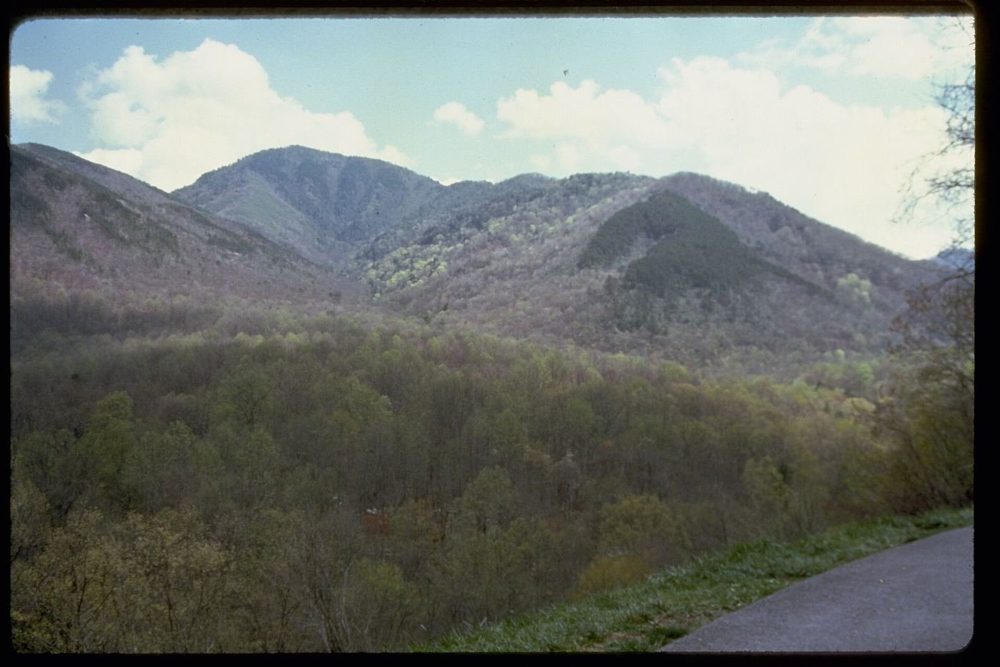
The Smokies surprised me in a way I didn't expect from the most-visited national park in the country. I went in assuming a free park with no timed-entry system would feel like an afterthought compared to the big-ticket western parks — instead I found a place that rewards slowness in a totally different register: fog pooling in the valleys at dawn, black bears actually visible from a paved loop road, and waterfalls tucked into hollows that never show up on anyone's highlight reel. This is the guide I wish I'd had before I went: what to do with one day, what to add with two, and what the full three days actually look like hour by hour.
If You Only Have 1 Day
One day in the Smokies means picking a lane: a real hike into the high country, or the wildlife-and-history loop through the park's most famous valley. I didn't try to force both into the same morning — the drive times between the Cades Cove side and the Newfound Gap side of the park are longer than they look on the map, and I didn't want to spend my one day in the car.
Alum Cave Trail to Bluffs — my pick for a real hike
This is the trail I'd point a first-time visitor to if they only had time for one real hike. It passes through Arch Rock, a natural stone tunnel the trail actually climbs through via carved steps, then opens onto a streambed under towering rock walls before switchbacking up to Alum Cave Bluffs — less a cave than a huge concave overhang, but the view out from underneath it across the ridgelines is the kind of payoff you don't get on an easier trail. The trail keeps climbing from here all the way to Mount LeConte if you have the legs and the extra hours, but the bluffs themselves are a complete, satisfying turnaround point for a one-day visit.
Rainbow Falls Trail — if you want the tallest waterfall in the park instead
Rainbow Falls drops about 80 feet, the tallest single-drop waterfall in the Smokies, and on a sunny afternoon the mist really does throw a rainbow at the base. The trail crosses the same creek repeatedly over a couple of footbridges on the way up, so I'd check the park's current trail-closure page before I went — bridge repairs have closed sections of this one before, and I'd rather know that from my phone in the parking lot than find out at mile two. It's steeper and rockier than Alum Cave in its second half, so I budgeted more time than the mileage alone suggested.
Whichever hike I did, I saved the late afternoon for Cades Cove — it's the kind of place that gets better, not worse, as the light gets low.
Cades Cove Loop — my go-to last stop
This one-way, 11-mile loop road circles a broad mountain valley dotted with restored 19th-century churches, cabins, and a working gristmill, and it's the most reliable place in the entire park to see wildlife — I watched a black bear work over a fallen log from about eighty yards away, and white-tailed deer are practically guaranteed at dusk. Traffic backs up badly midday, especially when a bear jam forms, so I drove it in the last two hours before sunset instead, when the crowds thin and the light turns the whole valley gold. Some days of the week close the loop to cars for cyclists and walkers in the morning — I checked the schedule before I planned around it.
Got a 2nd Day? Here's What I'd Add
With a second day, I headed up toward Newfound Gap for the two things that don't fit naturally into a Cades Cove day: the park's highest point, and its most photographed waterfall trail.
Kuwohi (Clingmans Dome) Trail — the short, steep climb to the roof of the Smokies
Kuwohi — the mountain's Cherokee name, officially restored in 2024 after decades as "Clingmans Dome" — is the highest point in the park at 6,643 feet, and the paved-but-steep half-mile trail to the observation tower earns every foot of its elevation gain in a short distance. On a clear day the tower's 360-degree view reaches into multiple states; on a hazy one, which is common, you'll still get the sense of standing above the ridgelines that gave the Smokies their name. The access road closes to vehicles every winter, generally December through March, so I made sure to check that before building a cold-weather trip around it.
Laurel Falls Trail — the easy, popular one, done early
Laurel Falls is paved almost the entire way, which is exactly why it's one of the most heavily used trails in the park — I got to the small trailhead lot right at opening and still watched it fill in behind me within the hour. The payoff is a genuinely pretty 80-foot cascading waterfall you can walk right up to, split into an upper and lower tier by the trail itself. I wouldn't attempt this one midday in summer or during peak fall color unless I was prepared to park well down the shoulder of the road and walk in.
The Full 3 Days — How I'd Spend Every Hour
By day three I'd already done the marquee hike, the wildlife loop, and the highest point in the park, so I used the extra day for something with a little more solitude — the Smokies get 11.5 million visitors a year, more than any other national park, and almost all of them stay on the same half-dozen trails.
Charlies Bunion via Appalachian Trail — for the view most visitors never see
This is a genuine slice of the actual Appalachian Trail, starting at Newfound Gap and running along a ridgeline to a rocky outcrop with an exposed, dramatic view back across the peaks — a real contrast to the paved, crowded trails closer to the road. It's a full day commitment and the exposed rock at the Bunion itself demands some care, but I saw a fraction of the people I'd seen at Laurel Falls or Cades Cove that same week. I packed more water than I thought I'd need; there's no reliable source along the way.
If I hadn't already done Alum Cave and had one more afternoon in me, I'd have kept going past the bluffs on that same trail toward Mount LeConte — a genuine full-day summit push, and the only way to reach LeConte Lodge, the hike-in-only lodge that's the closest thing the Smokies has to Zion Lodge. I didn't attempt it this trip, but it's at the top of my list for next time.
Where I Ate
Gatlinburg sits right at the park's north entrance, so everything on this list was a short drive from where I was staying.
Crockett's Breakfast Camp
My go-to before an early trailhead. Big, honest Southern breakfasts — griddle cakes the size of a plate and a lodge-cabin atmosphere that leans into the local Appalachian history instead of faking it.
View on Google Maps ↗The Pancake Pantry
Tennessee's first pancake specialty restaurant, open since 1960. There's almost always a line, and I still think it's worth standing in — the sourdough and sweet-potato pancakes are the ones locals actually order.
View on Google Maps ↗Bennett's Pit Bar-B-Que
A downtown institution since 1991, and my pick for a quick, no-fuss lunch between a morning hike and an afternoon drive. The pulled pork and the hickory-smoked ribs are both worth ordering.
View on Google Maps ↗Calhoun's
A casual, riverside spot for baby-back ribs and smoked wings after a long hiking day — exactly the kind of no-decision-fatigue dinner I wanted after Alum Cave.
View on Google Maps ↗The Peddler Steakhouse
I saved this for my last night — a riverside Gatlinburg institution for decades, with a build-your-own salad bar and steaks cooked exactly to order.
View on Google Maps ↗Cherokee Grill
A quieter alternative to the busier downtown steakhouses, with a solid trout and prime rib rotation. A good pick if I wanted a real dinner without a wait.
View on Google Maps ↗Where I Stayed
Gatlinburg, TN or Cherokee, NC
These are the two main gateway towns, sitting at opposite entrances to the park. I based myself in Gatlinburg for easier access to Cades Cove and Kuwohi, but Cherokee is the better base if you're spending more time on the North Carolina side.
View on Google Maps ↗LeConte Lodge
The only lodging inside the park — and you can't drive to it. It's hike-in only, reached via Alum Cave or a handful of other trails, all-inclusive per person, and books up roughly a year in advance. I didn't make it this trip, but it's the reason I already have a next trip planned.
View on Google Maps ↗Elkmont or Cades Cove Campground
Both are in-park and reservable, and Cades Cove Campground puts you inside the loop itself for the best odds of an early or late wildlife sighting without the drive.
View on Google Maps ↗Build This Exact Trip, Free
I built ParkPlan because I wanted this kind of plan for every park, not just the one I happened to write up. It turns this into a real day-by-day itinerary with your own dates, travelers, and budget.
Start My Smokies Trip → Or see full park details first at parkplan.org/?park=great-smoky-mountainsNearby Parks to Pair With Great Smoky Mountains
Building a longer road trip? These guides sit within a day's drive of this one.
Trail stats, closures, and pricing are accurate as of publication but change — always confirm current conditions at nps.gov/grsm before you go.