
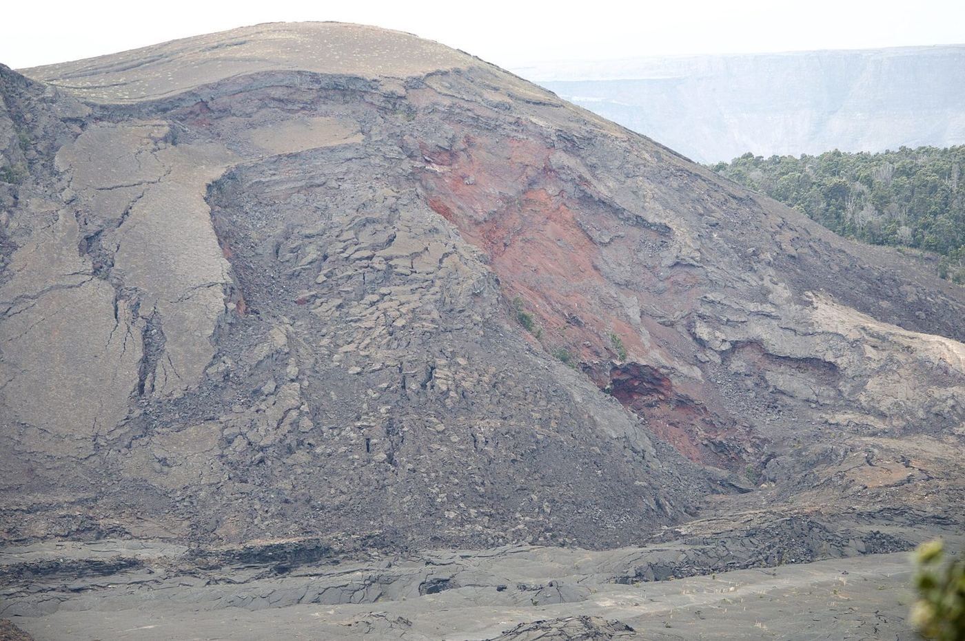
Hawaiʻi Volcanoes is the park where the landscape is still being made. Kīlauea has been erupting in episodes since December 2024, with lava fountaining inside Halemaʻumaʻu crater, and Mauna Loa, the world's largest volcano by volume, sits in the same park. It's a place where the headlines change the plan, so the single most useful planning habit is checking the park's website and the USGS Hawaiian Volcano Observatory before you go.
The good news is that the park is compact and accessible, with most of the highlights within a short drive of the Kīlauea Visitor Center, and you don't have to see lava to have a great trip. Crater walks, steam vents, a lava tube, and a coastal drive are all there whether the volcano is erupting or not.
If You Only Have 1 Day: The Kīlauea Summit
If I only had one day, I'd spend it around the Kīlauea summit, with the visitor center, the crater overlooks, and the Kīlauea Iki trail all within a short drive of each other. I'd end it with an evening visit to an overlook, whether or not the volcano is fountaining.
Kīlauea Iki Trail — the hike across a crater floor
A loop that descends through a rainforest to the floor of a crater that held a lava lake in 1959, crosses the steaming, cracked crust, and climbs back to the rim. It's the best day hike in the park, and one of the few places you can walk across a volcanic crater floor. I'd start in the morning, when it's cooler and less crowded.
Thurston Lava Tube (Nāhuku) — the lava tube
A short walk through a fern forest and then through a lit lava tube, a cave formed by lava draining from a flow. It's easy, and a good break from the sun, but it's often crowded, so I'd go early or late.
Kīlauea Overlook and Steam Vents — the summit view
Overlooks along Crater Rim Drive give views of Halemaʻumaʻu crater and the steam vents on the rim. At night, you may see a red glow if the volcano is active, and it's the best time to visit.
Check current closures along Crater Rim Drive before driving it, because some sections near the summit have been closed for years due to earthquake damage and hazards.
Got a 2nd Day? Chain of Craters Road to the Coast
The second day is the 19-mile drive from the summit down to the sea, which is one of the best drives in Hawaiʻi. It's a descent of nearly 3,700 feet across old lava flows, craters, and coastal cliffs.
Chain of Craters Road — the drive to the sea
A road that descends past pit craters and old lava flows to a coast where the road ends at a lava flow. The road has been closed in places in the past due to earthquake damage and lava, so check the current status before you go. Stops at Devastation Trail, Pauahi Crater, and the Holei Sea Arch are the highlights.
Devastation Trail — the short walk through the ash
A paved trail across a landscape of cinder and dead trees left by a 1959 eruption, with young ʻōhiʻa trees returning. It's an easy, accessible walk and a good way to see how the land recovers.
Puʻuhuluhulu (Maunaulu) Trail — the view of Mauna Ulu
A trail on Chain of Craters Road that climbs a cinder cone with a view across an old lava shield and the sea. It's less crowded, and a good option for a longer walk.
The Full 3 Days — Kahuku and the Quiet Side
With a third day I'd explore the parts of the park that most visitors skip. The Kahuku Unit, on the Kaʻū coast, is an hour's drive from the summit, and it's quiet and open on weekends.
Kīpukapuaʻulu (Bird Park) Trail — the forest in the lava
A short loop through a kīpuka, an island of old forest surrounded by newer lava, with a good chance of seeing native birds. It's an easy, quiet walk near Mauna Loa Road.
Mauna Loa Road — the drive up
A narrow, winding road up the side of the world's largest volcano, ending at a lookout and the trailhead for Mauna Loa's summit trail. It's a quiet drive with big views, and a good option for sunset.
Palm Trail (Kahuku Unit) — the open-country loop
A walk through the open lava-flow landscape of the Kahuku Unit, with long views toward the ocean. The unit is open only on certain days, so check the schedule.
Where I'd Eat
Dining inside the park is limited to one lodge, so I'd base meals in Volcano Village, a small town just outside the park entrance, or Hilo.
The Rim at Volcano House
The only restaurant inside the park, in a historic lodge on the rim of the crater with a big view. The best place for a sunset dinner.
View on Google Maps ↗Kīlauea Lodge Restaurant
A cozy restaurant in Volcano Village with a fireplace and a comfortable dining room, a good dinner after a day in the park.
View on Google Maps ↗ʻōhelo cafe
A well-reviewed restaurant in Volcano Village with local ingredients, the nicest meal in the village.
View on Google Maps ↗Lava Rock Cafe
A casual café in Volcano Village for sandwiches, coffee, and breakfast.
View on Google Maps ↗Thai Thai Bistro
A well-liked Thai restaurant in Volcano Village with reasonable prices.
View on Google Maps ↗Tuk-Tuk Thai
A Thai food truck in Volcano Village with good value and big portions.
View on Google Maps ↗Where I'd Stay
Staying near the park puts you at the summit for the evening glow, and Volcano Village has the most character.
Volcano House
A historic lodge on the rim of Kīlauea, one of the oldest hotels in Hawaiʻi, with rooms overlooking the crater. It books out early and is at the mercy of ash and vog.
View on Google Maps ↗Kīlauea Lodge
A cozy lodge in Volcano Village with cottages and a restaurant, about 5 minutes from the park entrance.
View on Google Maps ↗Volcano Village B&Bs and Rentals
A cluster of small inns, cabins, and vacation rentals under tree ferns, the most atmospheric way to stay near the park.
View on Google Maps ↗Build This Exact Trip, Free
I built ParkPlan because I wanted this kind of plan for every park, not just the one I happened to write up. It turns this into a real day-by-day itinerary with your own dates, travelers, and budget.
Start My Hawaiʻi Volcanoes Trip → Or see full park details first at parkplan.org/?park=hawaii-volcanoesNearby Parks to Pair With Hawaiʻi Volcanoes
Building a longer road trip? These guides sit within a day's drive of this one.
Eruption activity, road closures, and air quality change by the day — always confirm current conditions, road status, and reservation rules at nps.gov/havo before you go.