
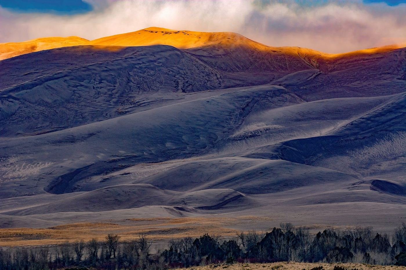
Great Sand Dunes is the tallest dune field in North America, a set of sand mountains rising as much as 750 feet against the Sangre de Cristo range, in a high valley at 8,000 feet. It's an odd and wonderful place: you hike across a seasonal creek that comes and goes like a beach, climb a dune that feels like a mountain, and then look up at a snow-capped peak behind it.
The park is also very easy to plan, because it's built around one parking area. The thing to get right is timing: the sand gets hot enough in summer to burn bare feet by midday, and the creek that makes the spring so popular varies enormously from year to year. I'd plan to be on the dunes early or late and to check the creek flow before building a trip around it.
If You Only Have 1 Day: High Dune and the Creek
If I only had one day, I'd arrive early, walk across the creek, climb to High Dune for the view, and spend the late afternoon sandboarding. That's the quintessential visit.
High Dune — the big climb
The classic climb: roughly 700 feet up a series of soft ridges to a crest with a 360-degree view of the dune field, the valley, and the mountains. Sand makes every step harder, and there's no real trail, just a line of footprints. I'd go early, bring water, and take it in stages — it's about reaching the best view, not the top of the park.
Medano Creek — the creek
In spring, a shallow stream flows across the base of the dunes, with a surge flow that pulses like waves. It's a favorite for families and the best way to cool off, but it can be nearly dry in low-snow years, and by midsummer it's usually gone.
Sandboarding and sand sledding — the thrill
Rent a board or a sled outside the park, climb a short way up a dune, and slide down. The best conditions are on cool days, when the sand is damp from rain or dew — dry, hot sand is much slower. It's a good activity for every age, and it's the one thing nearly every visitor remembers.
At the end of the day, the Dunes Overlook Trail, a short walk above the main lot, is a good place to watch the light change on the dunes.
Got a 2nd Day? Zapata Falls and the Quiet Side
With a second day I'd head away from the main dune field, where there's a waterfall, a mountain trail, and a very different landscape.
Zapata Falls — the waterfall
A short trail on BLM land south of the park leads to a small canyon, where you wade a stream to reach a waterfall in a narrow slot. It's cold, slippery, and one of the unexpected highlights of the area. Water shoes help, and I'd check the flow first.
Montville Nature Trail — the easy forest walk
A short loop through pine and aspen forest above the dune field, with a view of the dunes from the edge of the forest. A good break from the sand.
Mosca Pass Trail — the mountain walk
A trail that climbs through forest and aspen along a creek to a historic pass. It's a big contrast to the dunes, and it's the best option if you want a longer hike with shade.
The Full 3 Days — Star Dune and the Backcountry
With a third day I'd take on the big climb or the backcountry, but only if I had time to do it properly.
Star Dune — the tallest dune
The tallest dune in North America at about 750 feet, reached by a long, hot walk across the dune field. It's a full-day commitment and a serious hike, and I'd go early with a lot of water and a good sense of where you are.
Sand Ramp Trail — the dune edge
A long trail that follows the base of the mountains along the edge of the dune field, with views and few people. It's a good option for an overnight backpack.
Sand Creek Lakes via Music Pass — the alpine trip
A high-country hike to a chain of alpine lakes beneath the Sangre de Cristo peaks. It requires a high-clearance vehicle on the way in, and it's the best escape from the heat.
Where I'd Eat
There's very little in the park, so I'd plan around Alamosa, about 35 miles away, and the small cluster of businesses near the park entrance.
Great Sand Dunes Oasis Restaurant
A seasonal restaurant, store, and gas station just outside the park gate, typically open spring through fall. The easiest meal close to the dunes.
View on Google Maps ↗Calvillo's Mexican Restaurant
A long-running Alamosa restaurant with big plates and a loyal local crowd.
View on Google Maps ↗San Luis Valley Brewing Company
A downtown Alamosa brewpub with burgers and local beer, a good place to recover after a day on the sand.
View on Google Maps ↗Nino's Mexican Restaurant
A local favorite in Alamosa for Mexican food, easy to reach on the drive back from the park.
View on Google Maps ↗Alamosa grocery stores
The town has full grocery stores — the practical choice for picnic lunch and water before the drive to the dunes.
View on Google Maps ↗Where I'd Stay
Lodging near the park is limited, so I'd book early in spring and early summer.
Great Sand Dunes Lodge
A modern motel just south of the park entrance, with a pool and a view of the dunes, typically open from spring through October.
View on Google Maps ↗Piñon Flats Campground
The park's own campground, steps from the dunes, with sites that book out for spring weekends months ahead.
View on Google Maps ↗Alamosa, CO
The nearest real town, with chain hotels and a handful of independent places, about 35 miles from the park.
View on Google Maps ↗Build This Exact Trip, Free
I built ParkPlan because I wanted this kind of plan for every park, not just the one I happened to write up. It turns this into a real day-by-day itinerary with your own dates, travelers, and budget.
Start My Great Sand Dunes Trip → Or see full park details first at parkplan.org/?park=great-sand-dunesNearby Parks to Pair With Great Sand Dunes
Building a longer road trip? These guides sit within a day's drive of this one.
Creek flow, sand temperatures, and seasonal facility dates change from year to year — always confirm current conditions, road status, and reservation rules at nps.gov/grsa before you go.