
Arches is a small park with an outsized reputation, and once I'd actually spent a couple of days driving and hiking through it, I understood why. It packs the highest density of natural stone arches on Earth — Delicate Arch included — into a footprint you can genuinely cover in two focused days. I'll say the honest part up front, because I'd want someone to tell me: I wouldn't plan a real third day inside Arches itself. What I've laid out below is what I'd do with one day, what I'd add with a second, and — since Arches runs out of new ground before three days do — what I'd drive to instead if I had a third. Summer here, especially July and August, is brutal heat with zero shade on most trails, so if you have any flexibility on dates, use it.
If You Only Have 1 Day
One day at Arches means building the day around the heat and the light, not just the map. I did the easy, exposed stops in the cooler morning hours and saved the big one — Delicate Arch — for late afternoon, when the temperature drops and the rock starts to glow. That order also happens to dodge the worst of the midday crowds at the two busiest parking lots in the park.
The Windows Section — the easiest big payoff in the park
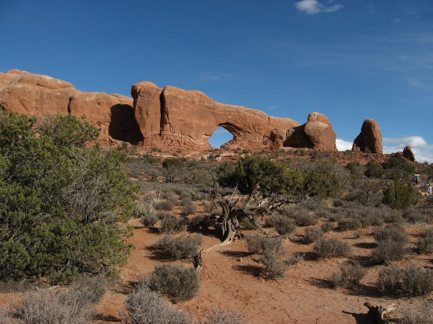
This is where I started, and it's honestly one of the best value-for-effort stops I've found in any national park. A short, nearly flat loop out of a large parking lot gets you to North Window and South Window — two enormous openings punched through the same ridge of sandstone — and Turret Arch sits just a short walk beyond them. I walked into North Window itself and stood there a while looking out through the opening at the desert beyond it, which felt different from photographing an arch from the outside. If I'd wanted more solitude, there's a rougher primitive trail that loops around the back side of the ridge, away from the main foot traffic. I'd still get here early, though — by mid-morning this was one of the most crowded parking areas in the entire park, and I watched cars circling for a spot while I was walking back to mine.
Balanced Rock — the drive-by you can't skip
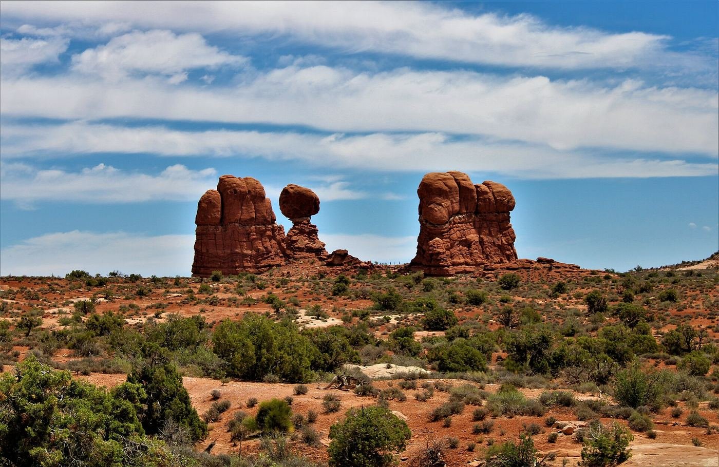
I almost treated this as a formality, since it's just a short, easy paved loop right off the main park road, but it's worth the five minutes it takes. A huge boulder sits balanced on a narrower pedestal of softer rock that's eroded out from underneath it over time, and it's visible straight from your car window if you're in a hurry — though I'd still get out and walk the little loop for a closer look from a couple of angles. It fits neatly between the Windows and Delicate Arch, and I never once drove past it without other cars already pulled over.
Delicate Arch Trail — the one everyone's actually here for
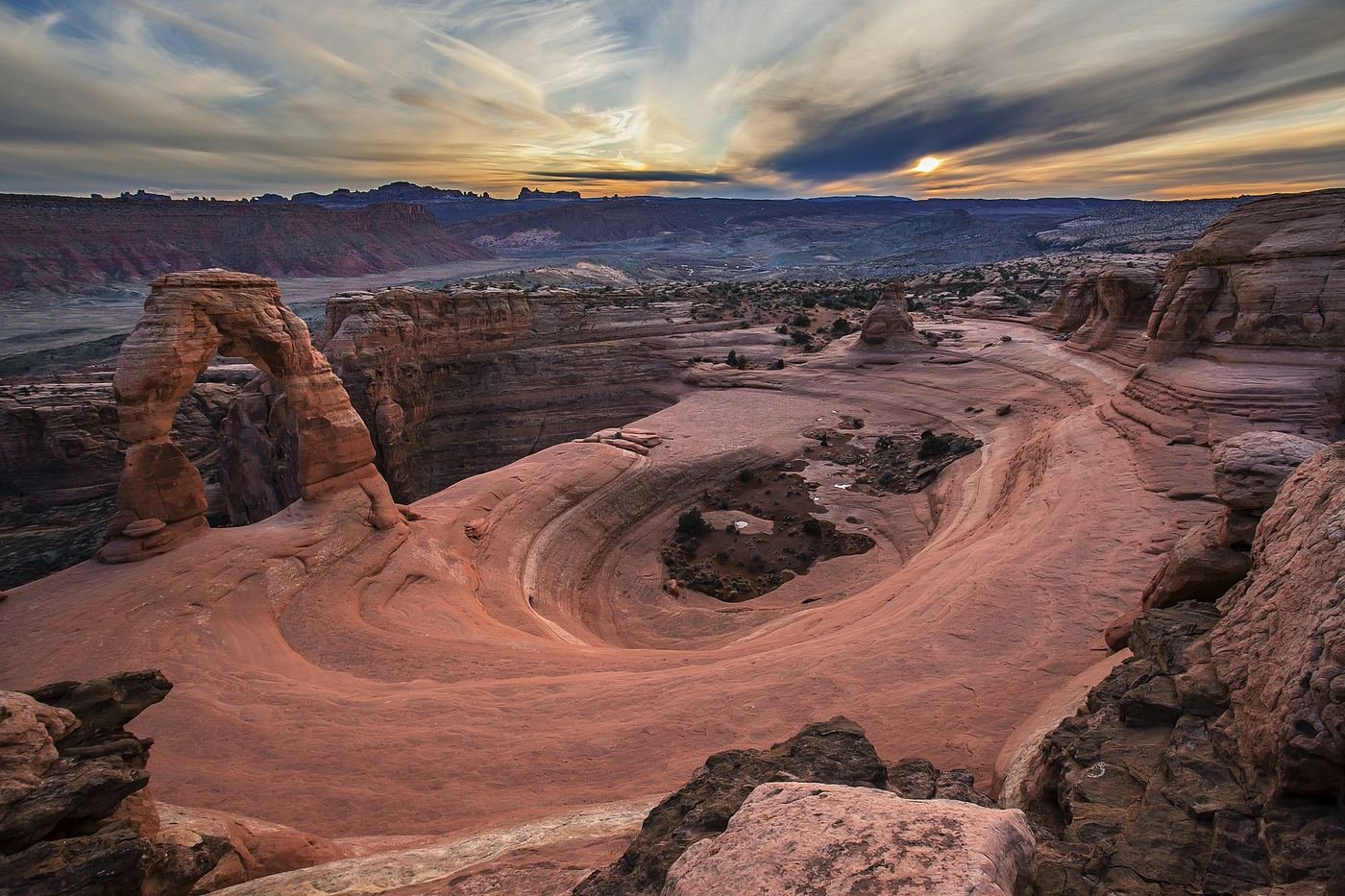
I'll admit I underestimated this one before I went, because three miles sounds short on paper. It isn't easy — after passing the historic Wolfe Ranch cabin near the trailhead, the trail turns into open slickrock with no marked path at all, just a string of rock cairns to follow, and I climbed steadily under full sun with essentially zero shade for the entire round trip. The stretch people don't warn you about enough comes right at the end: a narrow ledge cut into the cliff face, with real exposure on the open side, that funnels everyone toward the arch single file. I went in the late afternoon so I'd catch it near sunset, which meant climbing the slickrock in the hottest part of the day, but the payoff was worth it — the arch sits on the rim of a natural sandstone bowl, and with the La Sal Mountains framed through the opening and the rock turning orange-red in the low light, I understood immediately why this is the most photographed formation in Utah. I watched my footing carefully on that final ledge, because it's exactly the kind of spot where people get hurt when they're more focused on the view ahead than the ground under them.
By the time I hiked back down from Delicate Arch in the near-dark, headlamp on for the last stretch, I felt like I'd actually earned the day rather than just checked boxes off a map.
Got a 2nd Day? Here's What I'd Add
A second day is where Arches opens up. I spent the morning on the Devils Garden Trail, which rewards as much or as little effort as you want to give it, and if I'd booked far enough ahead, I used part of the afternoon for a ranger-guided walk through Fiery Furnace — the one part of the park you can't just show up and do.
Devils Garden Trail — to Landscape Arch
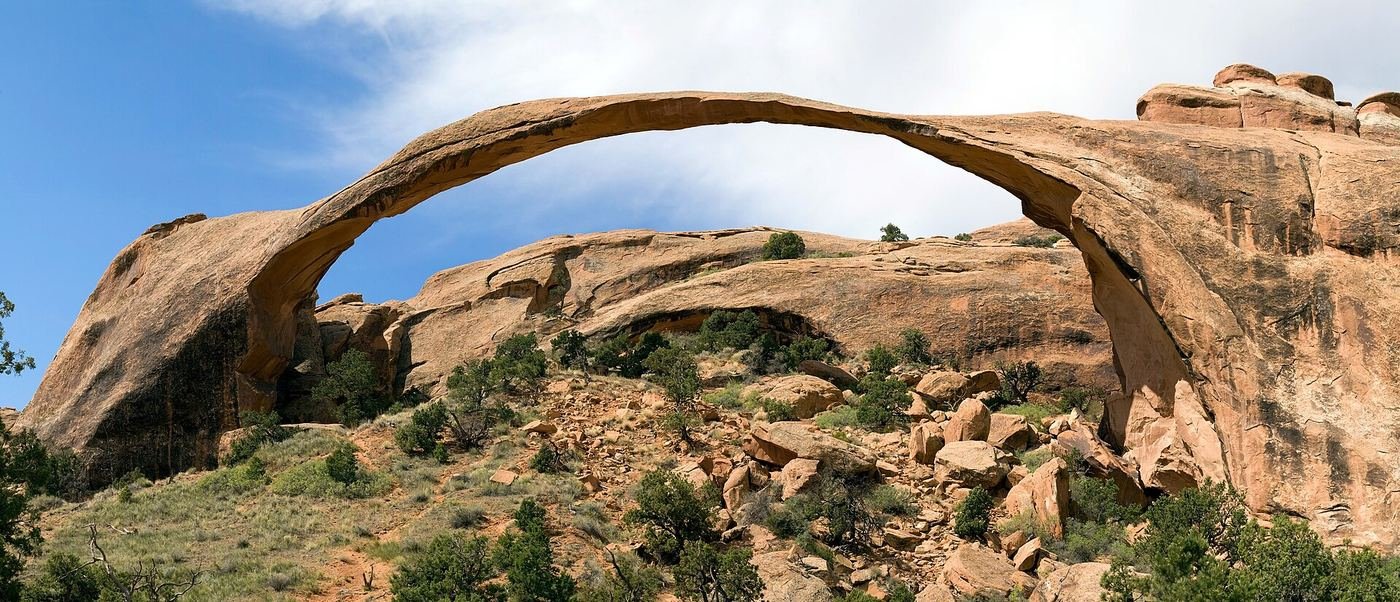
The walk out to Landscape Arch is nearly flat, and I still think it's one of the best short payoffs in the entire national park system. Along the way I took the short spurs out to Tunnel Arch and Pine Tree Arch, which barely add any distance and are easy to walk right past if you're not watching for the signs. Landscape Arch itself is the reason to come — it's among the longest natural stone spans on Earth, a thin ribbon of rock that looks almost too improbable to still be standing, and I found myself staring at it longer than I'd planned to. A slab actually fell from it back in 1991, so the ground directly beneath it is closed to foot traffic now, which is a good reminder that these formations are actively changing, not static monuments. If you keep going past Landscape Arch onto the primitive loop, the trail gets dramatically harder — narrow sandstone fins, exposed scrambling, real route-finding — on the way to Navajo Arch, Partition Arch, and the striking double-spanned Double O Arch. I turned back at Landscape Arch the first time through and only did the full loop once I'd gotten more comfortable on slickrock elsewhere in the park.
Fiery Furnace — if I'd booked ahead
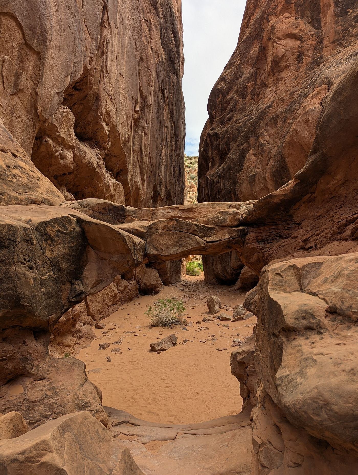
This is the one part of Arches you can't just show up and do. Fiery Furnace is a dense maze of tall, narrow sandstone fins with no marked trail at all, and access is restricted to either a ranger-guided walk or a permit for experienced hikers who can handle serious route-finding — I booked the ranger-guided version through Recreation.gov well before my trip, because slots fill fast. Inside, the ranger led us through tight corridors and squeeze-throughs that most visitors driving past on the main road never even know exist, including arches like Skull Arch and Surprise Arch that you can't see from any overlook. The scrambling is real — there's climbing, ducking, and a few spots where I had to think about how to actually get my body through a gap in the rock. We went in the late afternoon, and the reddish-orange sandstone caught the evening light in a way that made the whole place feel like it was glowing from the inside. If you don't land a permit or a tour slot, I wouldn't try to sneak in on your own — it's genuinely easy to get disoriented in there, and rangers do check.
The Full 3 Days — How I'd Spend Every Hour
Here's the honest part: Arches doesn't have a real third day inside it. By the end of day two I'd hit the arches that matter — Delicate, the Windows, Landscape, and if I'd booked ahead, Fiery Furnace — and adding a third day inside the park itself would have meant padding, not new experience. So instead of manufacturing something, I drove about 40 minutes from Moab to Canyonlands' Island in the Sky district and spent day three there. It's a genuinely common pairing for a reason — same Moab base, same red-rock geology, a completely different kind of view. Where Arches is about the formations up close, Island in the Sky is about standing on the rim of a mesa and looking down at the canyons the Green and Colorado Rivers carved below. Mesa Arch, framed against that drop, is the shot most people come for.
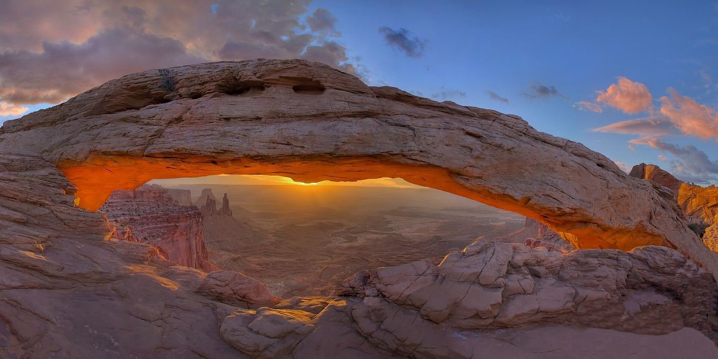
I'd rather tell you straight that Arches is a two-day park and send you somewhere worth the drive than stretch these same trails thin over a third day just to fill an itinerary. If you want the deeper Canyonlands write-up — trails, timing, all of it — I've put that in its own guide.
Where I Ate
I based myself in Moab, which works as the gateway for both Arches and Canyonlands, so nothing on this list was more than a few minutes from where I was sleeping.

Love Muffin
My go-to before an early trailhead start. It's clearly the local favorite for breakfast and lunch to-go, and the coffee and pastries were exactly what I needed before a sunrise drive.
View on Google Maps ↗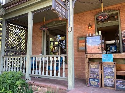
Horsethief Coffee
Tucked into the Historic Ranch House at Moab Springs Ranch. Locally roasted beans, plus a bagel sandwich or breakfast burrito if I needed something more substantial before a big hiking day.
View on Google Maps ↗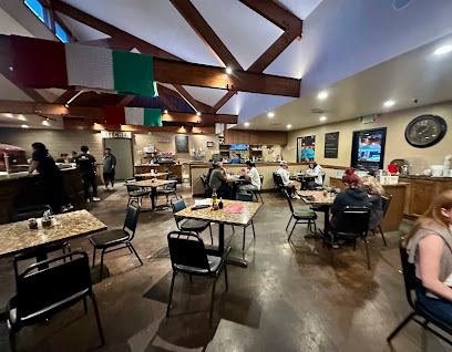
Antica Forma
Wood-fired, Neapolitan-style pizza with a genuinely good crust, plus a solid pasta menu for anyone in my group who wasn't in the mood for pizza.
View on Google Maps ↗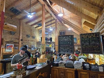
Broken Oar Restaurant
No dress code, no fuss — an easygoing dinner spot that was exactly right after a long day on slickrock.
View on Google Maps ↗
Moab Garage Co.
Housed in a converted garage downtown. A relaxed, casual stop when I wanted something quick between the park and the hotel.
View on Google Maps ↗
Cactus Jacks Moab
Western-themed, with steaks and ribs that hit the spot after a strenuous hike like Delicate Arch.
View on Google Maps ↗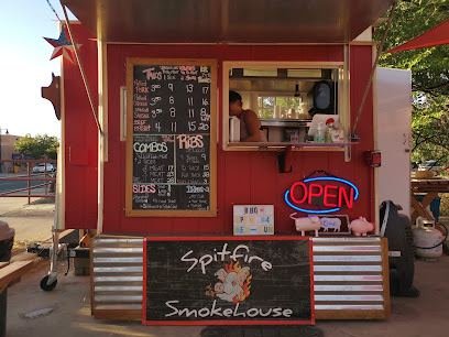
Moab Spitfire Smokehouse
My pick when I wanted smoked meat and didn't want to think too hard about the menu.
View on Google Maps ↗Where I Stayed
Moab, UT
This is where I based myself — about five minutes from the Arches entrance, with plenty of hotel and rental options, and it doubles as the base for a Canyonlands day too.
View on Google Maps ↗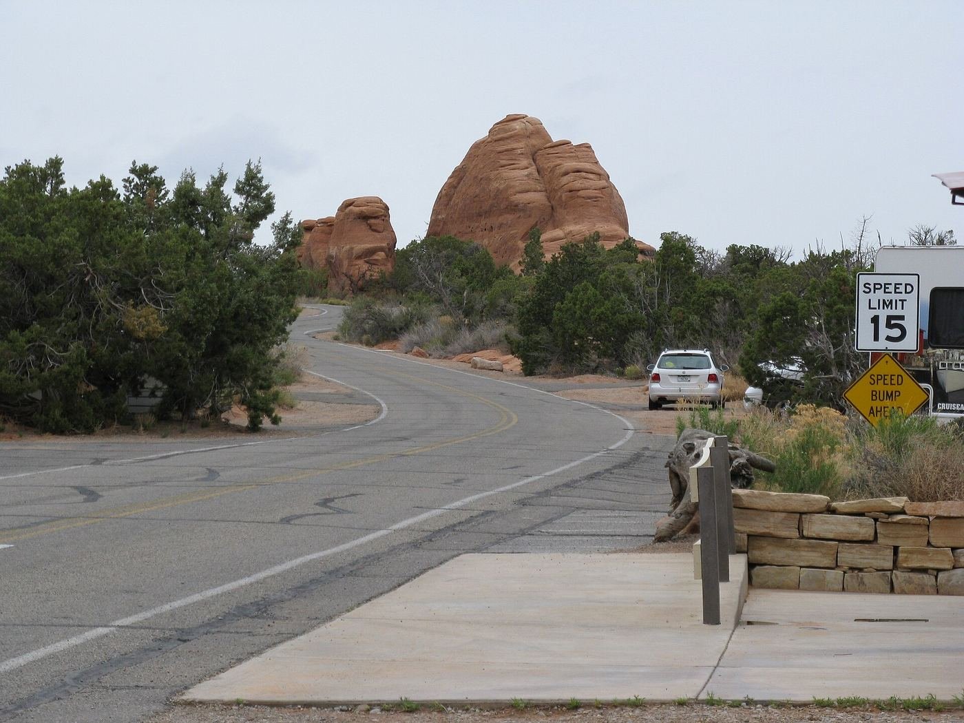
Devils Garden Campground
The only campground inside Arches, and it's reservable — but per the parking section above, you need to book it well in advance on Recreation.gov, not show up hoping for a spot.
View on Google Maps ↗Build This Exact Trip, Free
I built ParkPlan because I wanted this kind of plan for every park, not just the one I happened to write up. It turns this into a real day-by-day itinerary with your own dates, travelers, and budget.
Start My Arches Trip → Or see full park details first at parkplan.org/?park=archesNearby Parks to Pair With Arches
Building a longer road trip? These guides sit within a day's drive of this one.
Trail stats, permit rules, and pricing are accurate as of publication but change — always confirm current conditions and reservation requirements at nps.gov/arch before you go.