
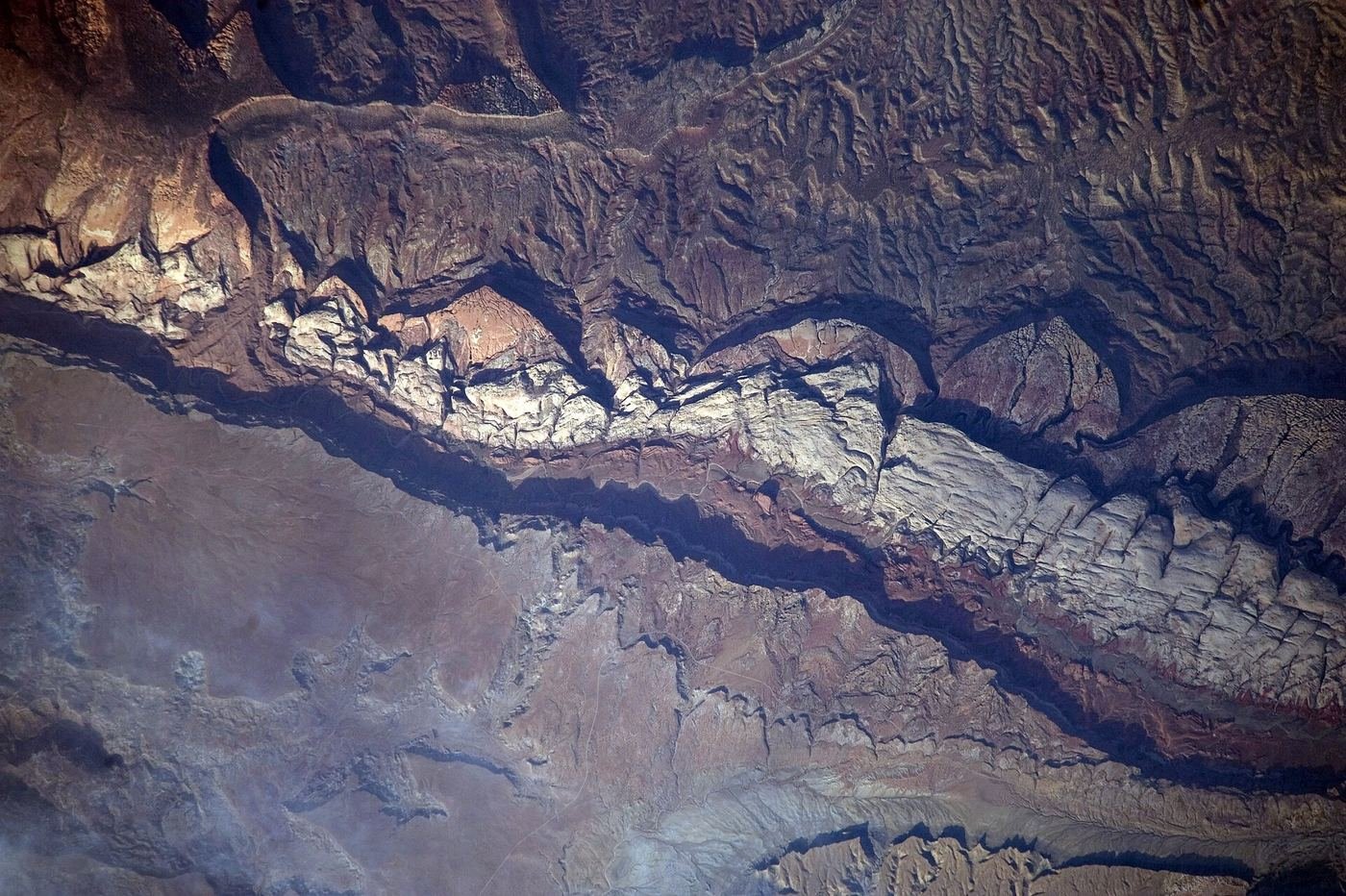
I'll be honest about how I ended up at Capitol Reef: it was the park I added to the Utah loop almost as an afterthought, the gap between Bryce and Arches that seemed like a reasonable place to break up a long drive. I left thinking it was the best two days of the whole trip. There's no entrance line, no shuttle system, no permit lottery to lose sleep over — just orange cliffs folded up out of the desert, a slot canyon with a historic wagon route running through it, and an honest-to-God orchard where you're allowed to eat the fruit off the trees. This is the guide I'd hand a friend before they go: what one day looks like, what I'd add with a second, and how I'd spend a full three.
If You Only Have 1 Day
One day at Capitol Reef is genuinely enough to leave satisfied, which is not something I can say about most of the Mighty 5. I'd structure it around the park's single best trail in the morning, the paved Scenic Drive at midday, and the orchards on the way out. Everything here sits along the same short stretch of road, so there's almost no backtracking involved.
Hickman Bridge — the one hike I wouldn't skip
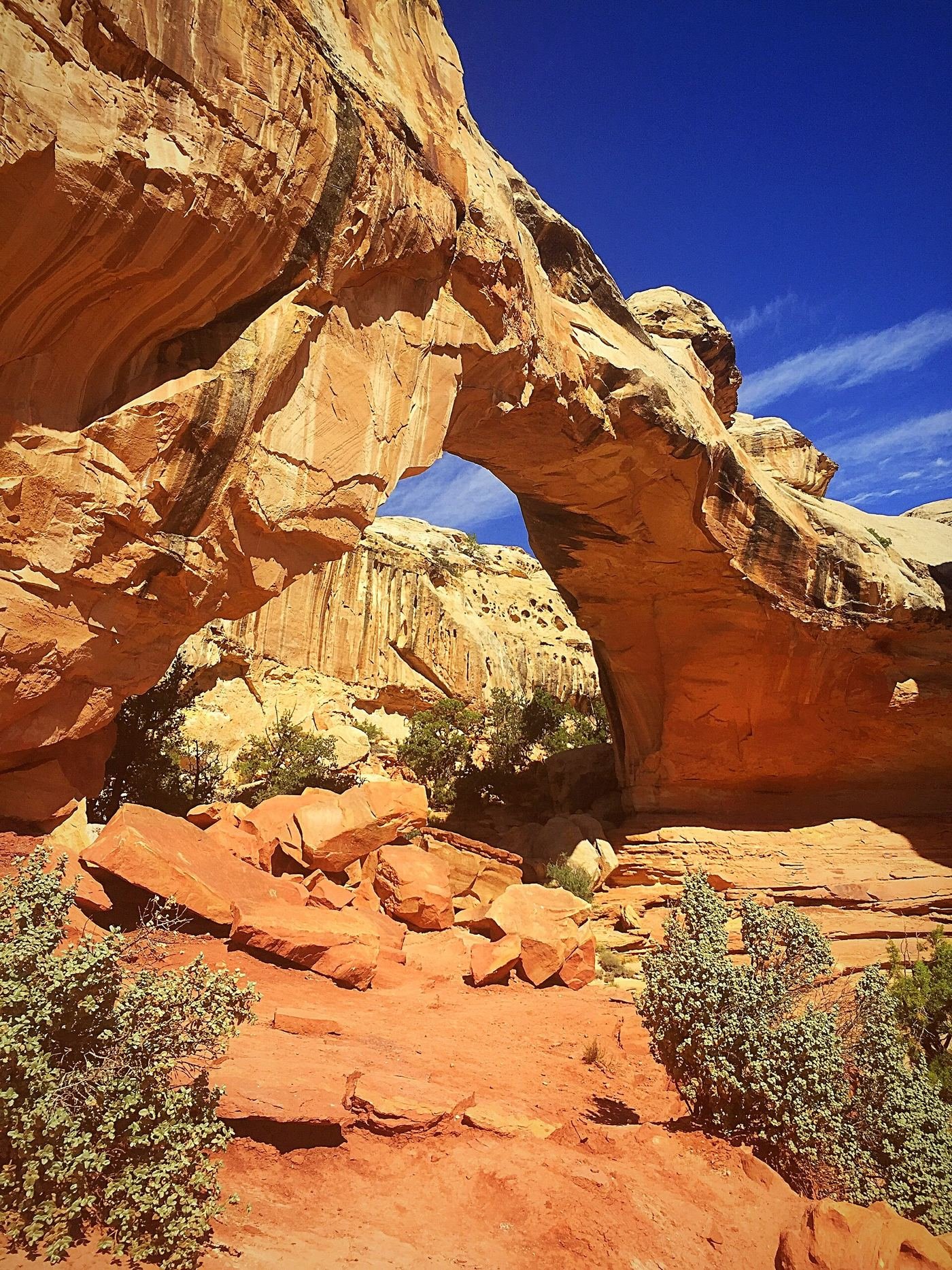
I did this one first thing in the morning and I'd tell anyone to do the same — it's the busiest trail in the park, and for good reason, so getting ahead of the crowd matters more here than anywhere else in Capitol Reef. The trail starts flat along the Fremont River drainage, easy walking with cottonwoods on either side, before it turns uphill and puts you on a set of rock steps that climb onto open slickrock. Capitol Dome looms over the whole route from there, this huge pale dome of Navajo sandstone that gives the park half its name. About two-thirds of the way up I passed a small Fremont-culture granary tucked into a break in the cliff face, easy to miss if you're not looking for it, and a reminder that people were living and storing food in this canyon a thousand years before anyone called it a national park. The payoff is the bridge itself — a 133-foot natural span of stone big enough to walk underneath, and I spent a good ten minutes just standing under it looking straight up through the opening. It's a short hike by national park standards, but I didn't feel like I was missing anything by keeping the day to just this one.
After Hickman Bridge, I'd spend the rest of the day on the Scenic Drive and a walk through the orchards — both low-effort, high-reward, and both explained below since they carry through every version of this itinerary.
Scenic Drive — the paved spine of the park
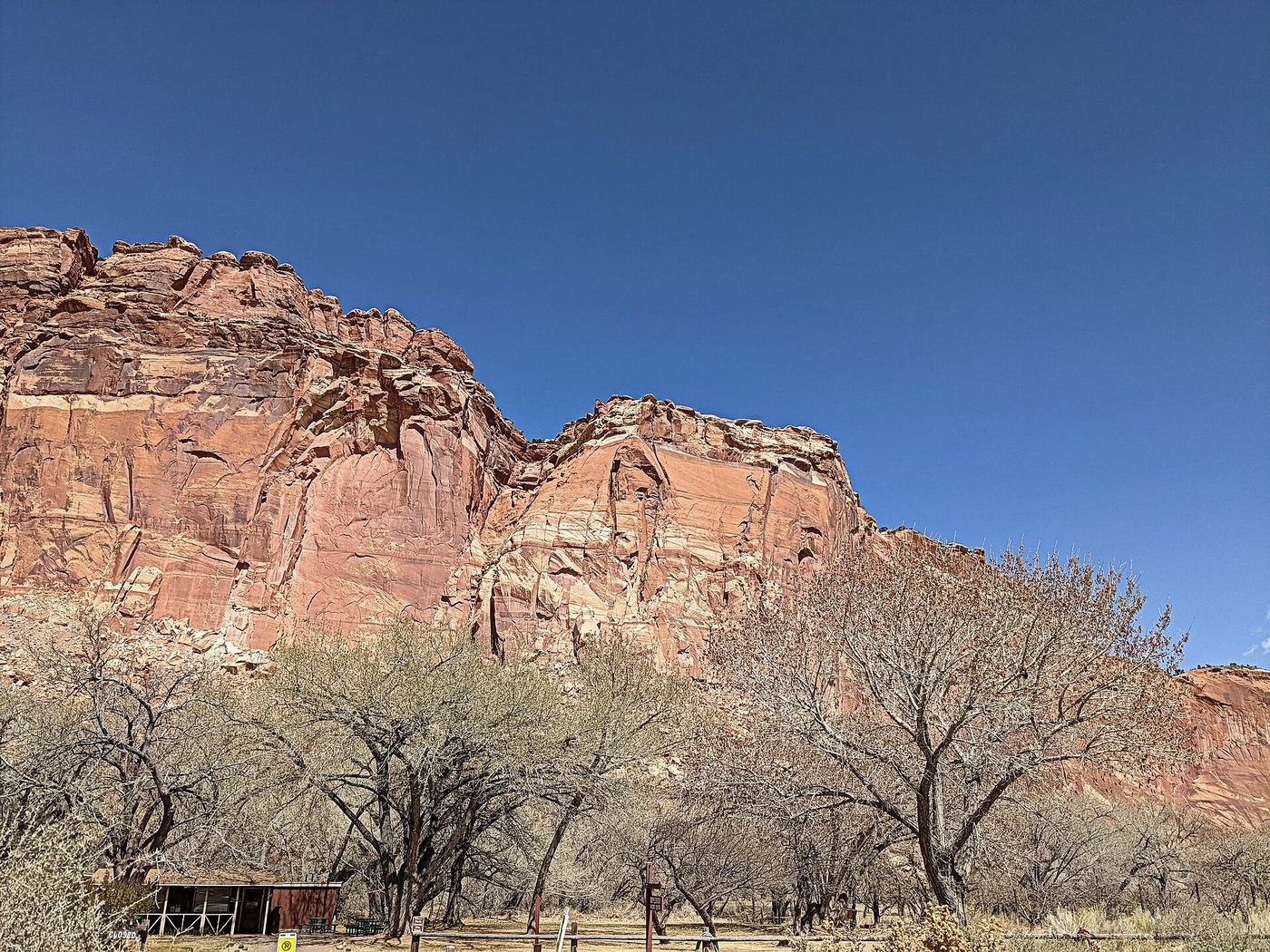
This is a paved road, not a trail, but I'm treating it like one because it's genuinely how you see most of the park in a short visit. It runs south from the visitor center through the base of the Waterpocket Fold, with the reef's orange-and-red cliffs rising directly off the shoulder of the road on one side. Two unpaved spur canyons branch off it — I pulled into both just to get out of the car and stand in the narrowing rock walls for a few minutes. This is the $20/vehicle fee I mentioned earlier, paid at a self-pay station near the start of the drive, and it's honestly worth every dollar of it for how much scenery it covers in so little time and effort.
Fruita Historic Orchards — the thing no other Mighty 5 park has
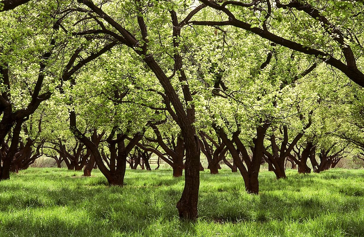
This might be my favorite oddity in the entire Utah park system. The Fruita district still has working orchards planted by Mormon pioneer settlers in the late 1800s, and the National Park Service keeps them going — cherry, apricot, peach, pear, and apple trees depending on the season. Whatever's ripe when you're there, you're allowed to walk in and eat straight off the tree, free, while you're inside the orchard boundary. I wandered through in the late afternoon with genuinely nothing on my agenda and it turned into one of the most relaxed hours of the whole trip. If you want to take fruit with you rather than just eat while you walk, there's a self-pay station for that too, but eating as you go costs nothing.
Got a 2nd Day? Here's What I'd Add
With a second day, I'd add Capitol Gorge and the Golden Throne Trail — really two hikes sharing one trailhead, and together they show you a completely different side of the park than Hickman Bridge does: human history instead of natural arches, and a slickrock climb instead of a river-drainage walk. I'd do this in the morning while it's cooler, since the Golden Throne climb has real sun exposure.
Capitol Gorge & Golden Throne Trail — history below, views above
This trailhead gives you two different hikes depending on how much time and energy you've got. The flat option is the Capitol Gorge floor walk, about a mile each way through a narrow canyon that was, until the 1960s, literally the only road through this stretch of the Waterpocket Fold — cars used to drive down the wash itself before the modern highway was built around it. About halfway in, I found the Pioneer Register, a canyon wall where travelers in the 1880s and 1890s carved their names into the rock, and it's a strange thing to stand in front of — real signatures from people crossing this same ground on foot or by wagon well over a century ago. A short scramble off the main path gets you to the Tanks, natural potholes in the rock that collect and hold rainwater, sometimes for months. The second option branches off from the same trailhead and climbs switchbacks up open slickrock to an overlook facing the Golden Throne, an enormous rounded sandstone dome that turns a deep orange-gold color as the afternoon light gets lower. I did the canyon floor walk first while it was still cool, then tackled the Golden Throne climb once I'd warmed up — that order worked well for me.
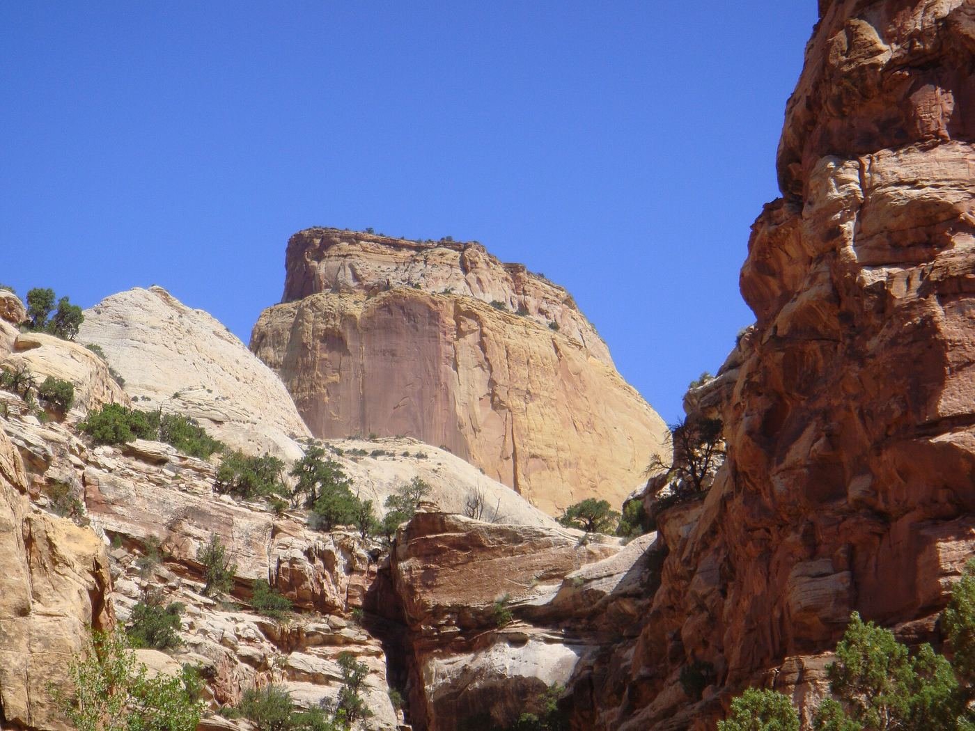
With the extra day, I also slowed down the Scenic Drive itself — instead of one pass through, I stopped at both spur canyons and actually got out and walked into them a little way, rather than just glancing down them from the car.
The Full 3 Days — How I'd Spend Every Hour
By day three, I'd already covered the park's two headline trails, so I used the extra time the way I ended up wishing I'd used more of my Zion trip: slower, with room to just sit somewhere and look at the rock for a while. I went back through the orchards at a different time of day, took a longer stop at whichever spur canyon on the Scenic Drive I'd rushed the first time, and left plenty of margin in the afternoon for the drive out toward Torrey, since the light on the cliffs from that direction in the late afternoon is some of the best of the whole trip.
Where I Ate
Torrey is small, but it punches well above its weight for food — everything on this list was a short drive from the park entrance, and I never had trouble finding a table even in the evening.
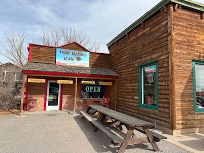
Wild Rabbit Cafe
My go-to before an early trailhead start. House-baked buttermilk biscuits, farm-fresh local eggs, and they pour Shooke Coffee, an artisan roast done right in town.
View on Google Maps ↗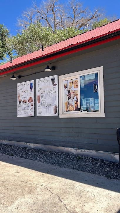
Dark Sky Coffee
A walk-up cafe on Main Street named for Torrey's Dark Sky Community designation. I stopped here for a cinnamon roll and a breakfast taco on a slower morning and both were worth the detour.
View on Google Maps ↗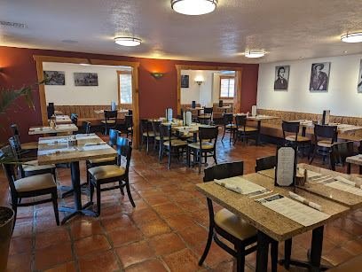
Hunt & Gather
The most talked-about kitchen in Torrey, and I understood why after one dinner — locally sourced ingredients turned into elevated versions of comfort food. My pick for the one nicer dinner of the trip.
View on Google Maps ↗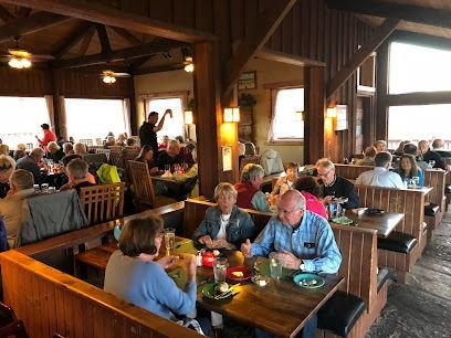
Rim Rock Restaurant
Sit-down dining at the Rim Rock Inn just outside the park boundary, with expansive red-rock views from the dining room. A good choice if you want the scenery to keep going through dinner.
View on Google Maps ↗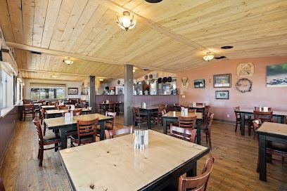
Broken Spur Steakhouse
Dependable hand-cut steaks a few minutes from the park entrance. It's seasonal, open March through November, so I'd check ahead if I were going outside that window.
View on Google Maps ↗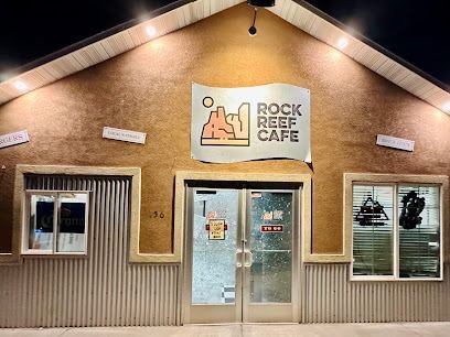
Reef Rock Cafe
A big, varied menu that made it the easy choice on a night when everyone in my group wanted something different. Nobody had to compromise.
View on Google Maps ↗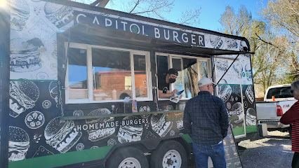
Capitol Burger
A Torrey food truck turning out well-regarded burgers. My pick for a quick, budget-friendly dinner after a long day on the trails.
View on Google Maps ↗Where I Stayed
Capitol Reef doesn't have an in-park lodge, so unlike Zion or Bryce, there's really one real decision to make here: stay in Torrey, or camp in the park.
Torrey, UT
This is where I based myself — about 10 minutes from the visitor center, with the best range of restaurants and places to stay of any town near the park. For most people, this is the base, full stop.
View on Google Maps ↗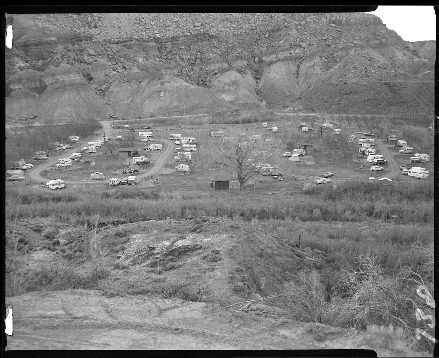
Fruita Campground
In-park camping right in the orchard district, available first-come or by reservation. If I wanted to wake up already inside the park with the cliffs right there, this is where I'd pitch a tent.
View on Google Maps ↗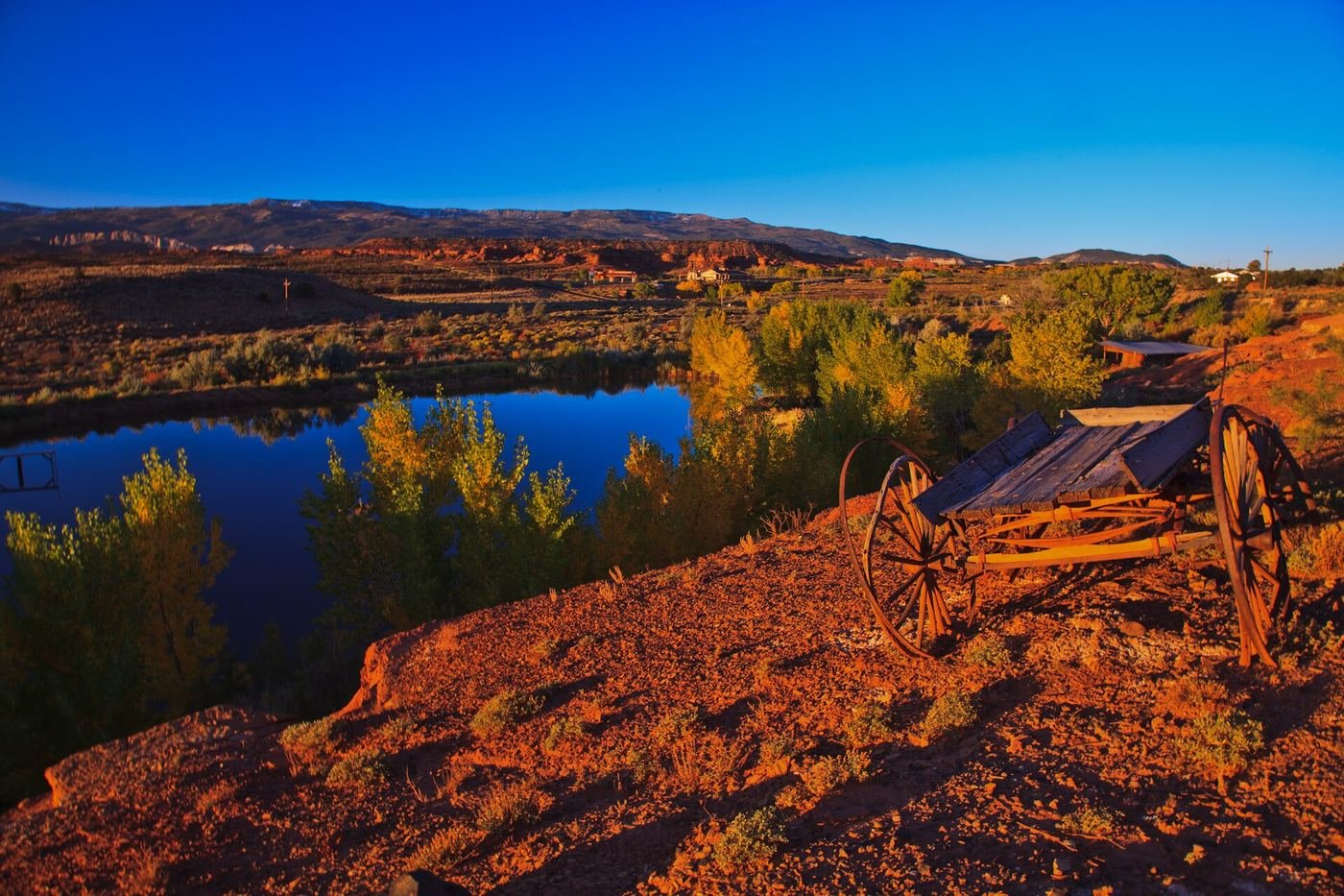
Build This Exact Trip, Free
I built ParkPlan because I wanted this kind of plan for every park, not just the one I happened to write up. It turns this into a real day-by-day itinerary with your own dates, travelers, and budget.
Start My Capitol Reef Trip → Or see full park details first at parkplan.org/?park=capitol-reefNearby Parks to Pair With Capitol Reef
Building a longer road trip? These guides sit within a day's drive of this one.
Trail stats, fees, and hours are accurate as of publication but change — always confirm current conditions and pricing at nps.gov/care before you go.