
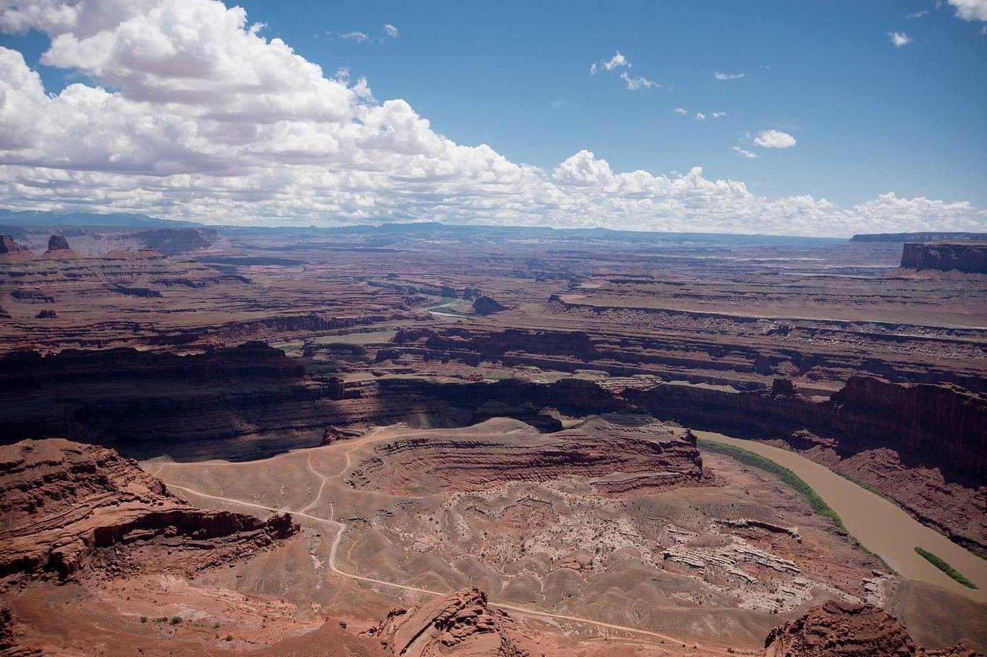
Canyonlands is the one that made me feel small in a good way. Zion and Arches both have a road that basically hands you the highlights; Canyonlands doesn't do that. It's the wildest and most remote-feeling of Utah's Mighty 5, split into separate districts with no direct road connecting them, almost no infrastructure once you're inside, and long empty stretches of mesa and canyon between the stops that do exist. I went in expecting a quick add-on to my Arches trip and came out thinking it deserved its own dedicated day, maybe two. This is the guide I wish I'd had — what to do with one day, what to add with a second, and how I'd use a third to get a real taste of the backcountry district almost nobody bothers to drive out to.
If You Only Have 1 Day
One day in Canyonlands means one day in the Island in the Sky district — it's the section closest to Moab and the only one set up for an easy day trip, sitting on top of a mesa with the Green and Colorado Rivers carving canyons on either side of you. I'd start before the sun's up, because the single best thing in the park happens in the first few minutes of daylight, and then spend the rest of the morning working the rim.
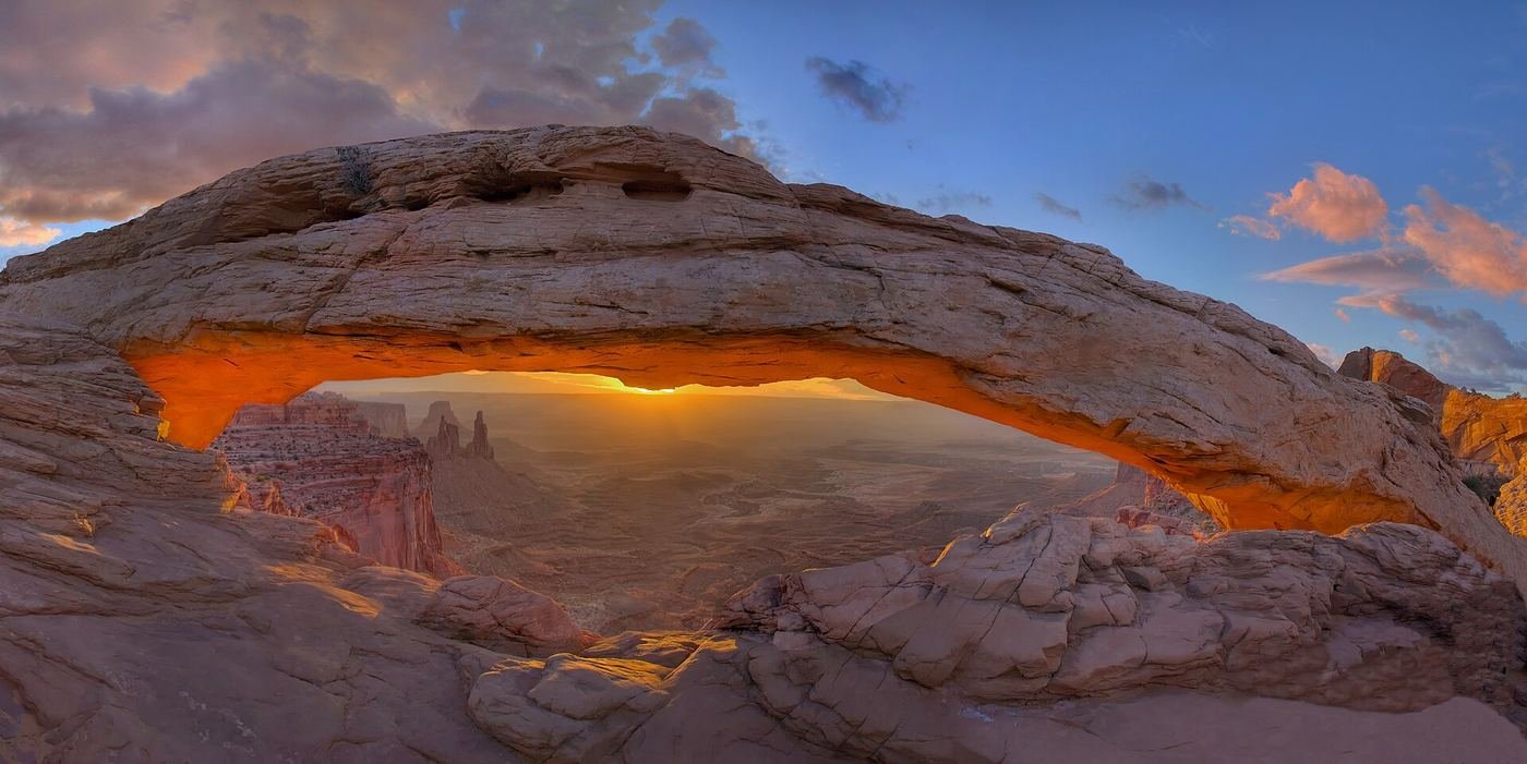
Mesa Arch — first stop, before sunrise
This is a short, flat loop that punches way above its half-mile length, because the arch itself sits right on the edge of a sheer drop, framing canyon country and distant buttes like a window cut into the cliff. For a few minutes right after sunrise, light bounces up off the canyon wall beneath the arch and the whole underside of it glows orange — it's one of the most photographed sunrise spots in the entire national park system, and the tiny parking lot proves it, packed with tripods well before the sky even starts to lighten in peak season. I made a point of getting there early specifically because of that; outside the sunrise rush this is a quiet, easy, genuinely family-friendly walk that almost anyone can do. There's no railing at the arch's edge, and the drop underneath it is real, so I kept an eye on anyone with me who wandered close for a photo. On the way I could see Washer Woman Arch off in the distance, which was a nice bonus I hadn't been expecting.
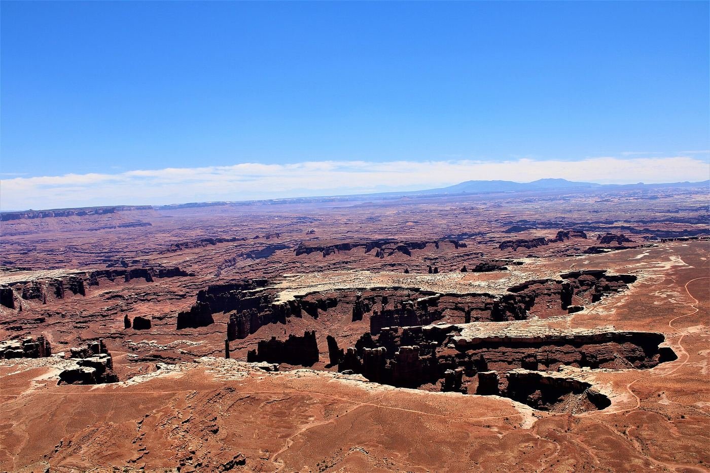
Grand View Point Overlook — the big-picture payoff
If I only had time for one more stop after Mesa Arch, this is it — the best big-picture canyon view anywhere in the park. The overlook itself is right at the parking area, so even a quick stop gets you the payoff, but I kept walking the rim trail out and back and was glad I did. The farther I went, the more the canyon opened up below me, layers of rock stacked down toward the rivers with almost no sign of anything human in the frame. I didn't rush this one — I found a flat rock, sat down, and just let the scale of it sink in for a while before heading back to the car.
Got a 2nd Day? Here's What I'd Add
With a second day still inside Island in the Sky, I'd slow the pace down and add the strangest thing in the park to the loop — a crater that geologists still argue about.
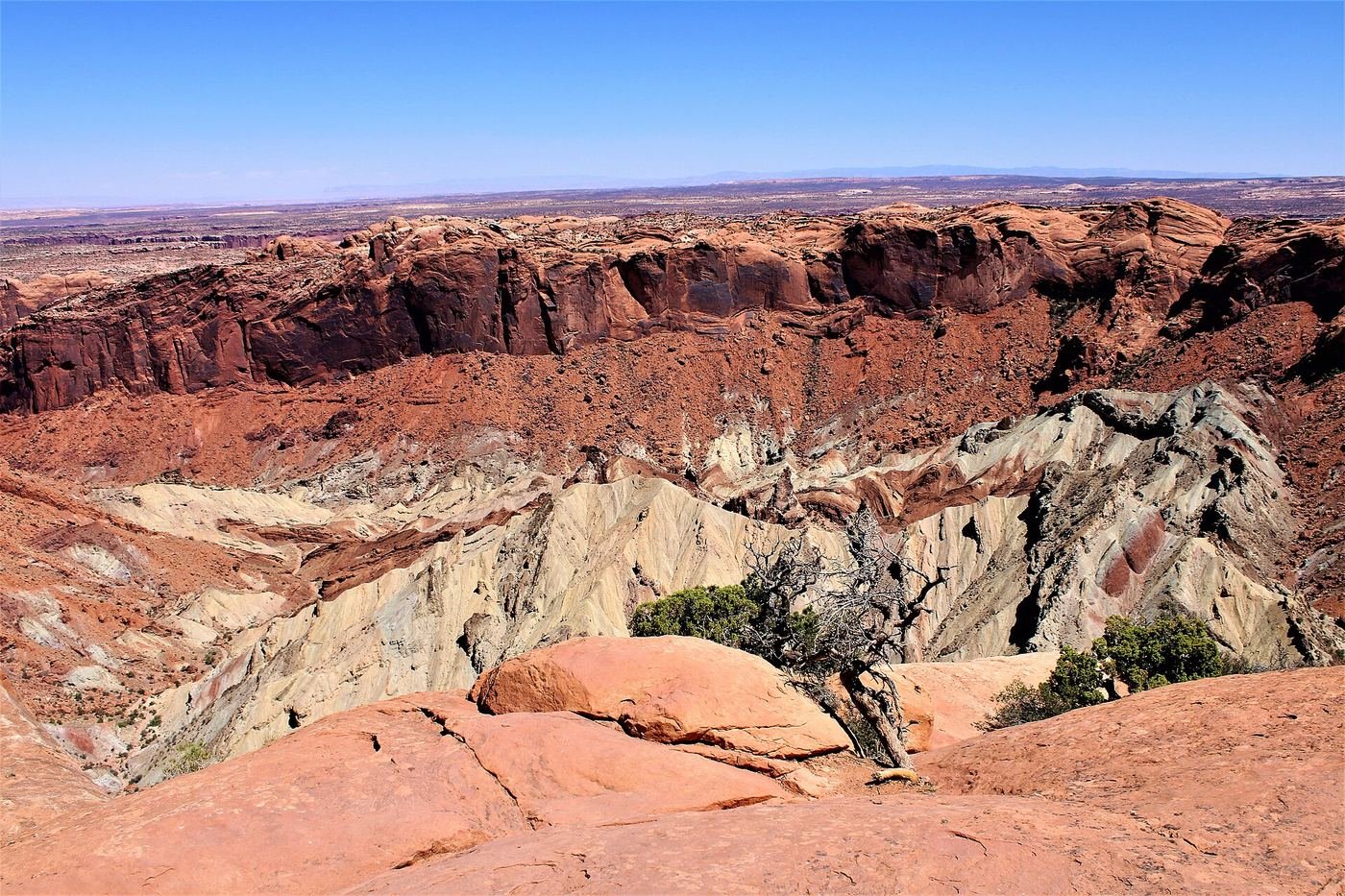
Upheaval Dome Overlook — the crater nobody can quite explain
This is one of the stranger geologic features I've stood in front of anywhere — a large, crater-like formation with a jumbled, uplifted peak sitting in the middle of it, and its origin is genuinely debated among geologists, split between a meteorite impact and a collapsed underground salt dome. A short climb over slickrock gets you to the first overlook, which is enough for most people, but I kept going — the trail gets steeper from there, and the second, higher overlook gives you a much better sense of just how big the whole crater actually is. There's little shade anywhere on this route, since it's almost entirely exposed slickrock, so I was glad I'd brought extra water on top of what I'd already packed for the day. Standing at that second overlook looking down at the jumbled central peak, I found myself genuinely torn on which explanation I believed — which is exactly the kind of thing I like a park to do to me.
The Full 3 Days — How I'd Spend Every Hour
By day three I'd already covered Island in the Sky properly, so I used the extra day to see a completely different side of the park — the Needles District, a separate section of Canyonlands roughly an hour and a half to two hours from Island in the Sky and from Moab, with no direct road linking the two. Needles is quieter and feels even more remote — its own trailheads, its own backcountry character, and a fraction of the visitors Island in the Sky gets. I treated it as a half-day trip: drive down, spend a few unhurried hours exploring on foot, and drive back, rather than trying to force it into a rushed detour. If I only had three days total and hadn't made it out here, I'd rather trim something from Island in the Sky than skip Needles entirely — it's the part of the park that actually earns Canyonlands its reputation for remoteness.
For anyone with more time and a real 4x4, it's worth knowing the White Rim Road exists — a 100-mile loop around the base of the Island in the Sky mesa, strenuous, and typically done over two days with a permit. I didn't attempt it on this trip and wouldn't call it part of a standard 1-3 day visit, but if you're the kind of traveler who reads a "strenuous, 2 days" label and gets excited instead of nervous, it's there.
Where I Ate
Canyonlands has no restaurants or food service inside the park at all, so every meal happened in Moab, the same gateway town I used for Arches. It's about 30-45 minutes from Island in the Sky, which made it an easy base for both parks at once.
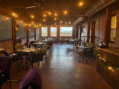
Desert Bistro
I saved this for a special-occasion dinner — it's Moab's top pick for one, with a seasonal menu that ranged from elk tenderloin to seared sea bass the night I went.
View on Google Maps ↗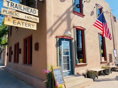
Trailhead Public House & Eatery
My go-to after a long day on the mesa — a solid tap list and the kind of gastropub menu that hits the spot when you're too tired to be picky.
View on Google Maps ↗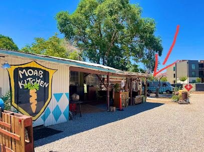
Moab Kitchen
Comfortable and family-friendly. An easy, no-drama dinner spot on a night I didn't want to think too hard about where to eat.
View on Google Maps ↗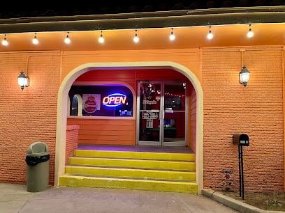
El Tapatio
A long-running, affordable Mexican standby in Moab — reliable and easy on the budget after a gear-heavy trip.
View on Google Maps ↗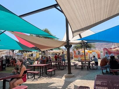
Moab Food Truck Park
A cluster of food trucks in one lot, which was handy when the people I was traveling with couldn't agree on one cuisine.
View on Google Maps ↗
Moab Coffee Roasters
A local favorite for a reason — daily-roasted beans, specialty lattes, and homemade pastries on a shaded patio before an early start.
View on Google Maps ↗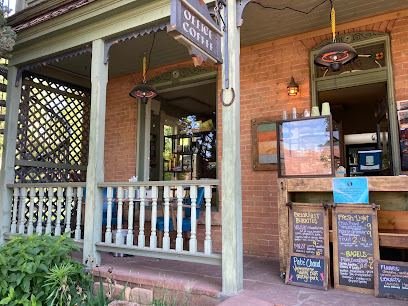
Horsethief Coffee
Set in the Historic Ranch House at Moab Springs Ranch — locally roasted coffee plus bagel sandwiches and breakfast burritos to fuel a sunrise drive to Mesa Arch.
View on Google Maps ↗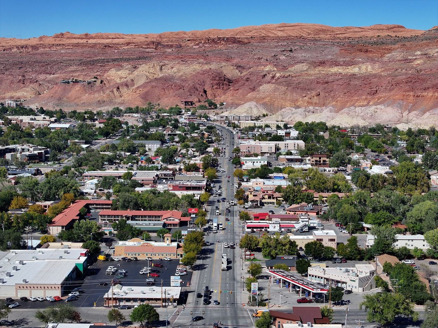
Where I Stayed
There's no in-park hotel or lodge at Canyonlands — if you want a roof, you're staying in Moab.
Moab, UT
My base for both Canyonlands and Arches — the widest range of hotels and rentals, about 30-45 minutes from the Island in the Sky entrance.
View on Google Maps ↗Willow Flat Campground
In-park, inside Island in the Sky, and first-come, first-served only — no reservations. I'd get there early in the afternoon if I wanted a real shot at a site.
View on Google Maps ↗Build This Exact Trip, Free
I built ParkPlan because I wanted this kind of plan for every park, not just the one I happened to write up. It turns this into a real day-by-day itinerary with your own dates, travelers, and budget.
Start My Canyonlands Trip → Or see full park details first at parkplan.org/?park=canyonlandsNearby Parks to Pair With Canyonlands
Building a longer road trip? These guides sit within a day's drive of this one.
Trail stats, road conditions, and pricing are accurate as of publication but change — always confirm current conditions, district access, and permit requirements at nps.gov/cany before you go.