
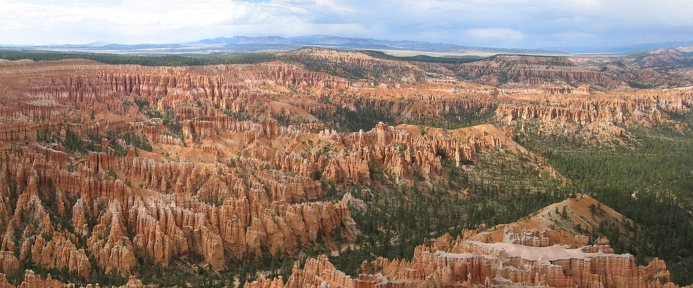
Bryce Canyon is the park I'd send someone who says they don't have time for a national park. It isn't a sprawling, multi-day drive between scattered sights — it's one compact amphitheater packed with thousands of red-orange hoodoo spires, and you can see an enormous amount of it in a single well-planned day. I went in expecting a quick stop on the way to somewhere else and ended up wishing I'd given it a second day, not because I ran out of things to see, but because the trails down into the amphitheater were good enough that I wanted to do more of them. This is the guide I'd hand a friend the night before they go: what one day looks like, what I'd add with a second, and what the full three days actually look like hour by hour.
If You Only Have 1 Day
One day is genuinely enough at Bryce if you sequence it right, and the sequencing is easy because everything worth doing sits within a few miles of the same stretch of rim. I'd start before the sun's fully up, work the rim while the light's still low and gold, and then drop down into the amphitheater itself once the overlooks are done. No backtracking required — it's a natural loop.
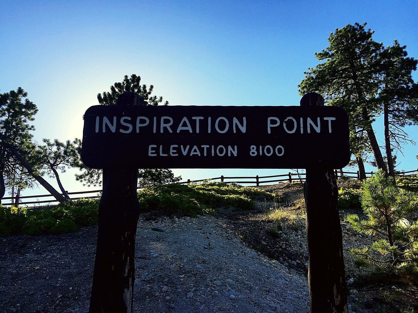
Inspiration Point — where I started, before sunrise
I'd call this the best sunrise spot in the entire park, and I planned my whole first morning around getting there before the light came up. There's a lower, middle, and upper viewing area, each a little higher and a little wider than the last, and I worked my way up through all three as the light changed — the hoodoos go from flat gray-blue in the pre-dawn haze to a full wall of orange and red in the span of maybe twenty minutes. What surprised me was how few people were up there that early compared to how packed the same overlook gets by mid-morning. I brought a layer I didn't think I'd need — the rim sits over 8,000 feet up and it's genuinely cold before sunrise even in summer.
Sunrise Point to Sunset Point — the easy connector
This is the flattest, most forgiving stretch of trail in the park, paved the whole way and staying right along the amphitheater rim, and I used it to move between overlooks rather than as a destination on its own. What I noticed is that the view genuinely changes between the two points — the hoodoo density and the angle of the light shift enough that it doesn't feel repetitive. And despite the name, Sunset Point catches gorgeous early light too, so I didn't feel like I was wasting the morning by walking through it before noon. This stretch is also how most people reach the Navajo Loop and Queen's Garden trailheads, so I treated it as the on-ramp to the bigger hike rather than a separate errand.
Navajo Loop + Queen's Garden Combo — the best introduction to the hoodoos
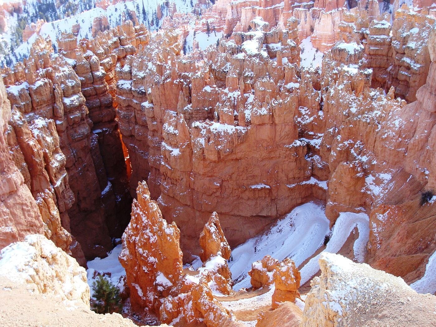
If I only did one thing at Bryce, it would be this. I went down Navajo Loop first, and the switchback drops you almost immediately into Wall Street, a narrow, twisting slot where the walls block out the sun completely and the trail squeezes between two ancient Douglas firs that have been growing in that shadow for who knows how long. It's a strange, cool relief after the open rim above, and I noticed ice still clinging to the shaded corners of the trail well into what should have been warm spring weather — worth knowing before you go down in anything without decent tread. Coming back up through Queen's Garden is a completely different experience — wider, sunnier, and named for a hoodoo that really does look like a rough profile of Queen Victoria if you catch it at the right angle. Combining both loops instead of doing just one means you descend one way and climb out another, which doubles the formations you pass without adding much distance — Thor's Hammer, the Two Bridges formation, and the dense cluster of spires locals call the Silent City are all on this route. It's the single best two-to-three-hour block of time I spent in the park.
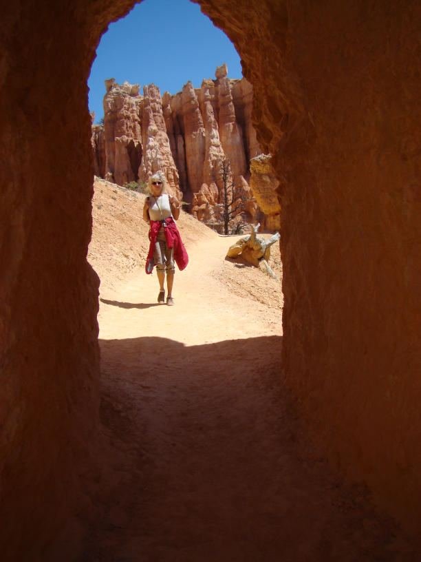
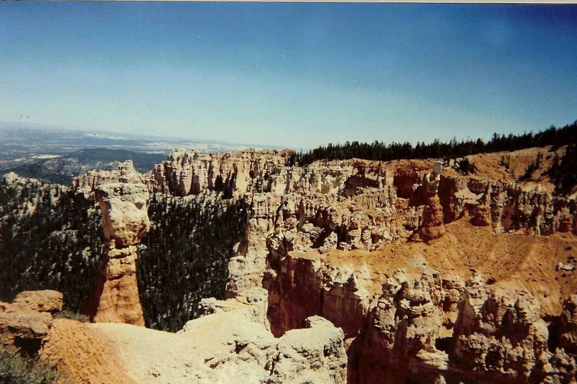
By early afternoon I was back up on the rim with the whole loop behind me, which left plenty of daylight for lunch in Tropic and a slower second lap of the overlooks before dinner. That's a full, satisfying day — but if you have a second one, this is where I'd tell you to use it.
Got a 2nd Day? Here's What I'd Add
With a second day, I'd add the one hike that most people staying in the park skip entirely because it starts from a different trailhead than everything else: Fairyland Loop. It covers ground that rhymes with Navajo Loop and Queen's Garden — same red-orange hoodoo forest — but from a quieter starting point with a fraction of the crowds, and it asks a lot more of you in return.
Fairyland Loop — the strenuous one, and the one with real solitude
I underestimated this one going in, and I'd tell anyone else not to make the same mistake — the driving distance between the Fairyland Point trailhead and the main amphitheater viewpoints is short enough that it's easy to assume the hike itself is a similar scale-down from Navajo/Queen's Garden. It isn't. The trail rolls continuously in and out of side drainages the entire way around, so the elevation gain adds up in a lot of small, repeated climbs rather than one big one, and by the far side of the loop I felt it in my legs more than I expected to. What I got in exchange was quiet — long stretches where I didn't see another hiker, which never happened on the Navajo Loop side. About halfway around sits Tower Bridge, a rock formation that genuinely resembles its namesake, and it's popular enough as a shorter out-and-back destination on its own that I'd point a time-limited hiker there instead of the full loop. The Chinese Wall, a long fin of banded rock, and the view back at Fairyland Point are the other two things I'd make sure not to rush past.
The Full 3 Days — How I'd Spend Every Hour
By day three I'd already covered every major trail in the park, so I used the extra time to slow down rather than manufacture a fourth big hike out of nothing. I rode the free shuttle end to end without trying to be anywhere on a schedule, caught sunset at Inspiration Point the way I'd caught sunrise there on day one, and walked the Rim Trail a second time just to see how different the light looked in the evening. If you're visiting in winter, this is also the day I'd set aside for watching the hoodoos with snow on them — the road stays plowed and open, and it's a genuinely different, quieter version of the same park.
Where I Ate
Most of my meals were a short drive away in Tropic, with a couple of nights spent right at the park's own lodge instead of driving anywhere at all.
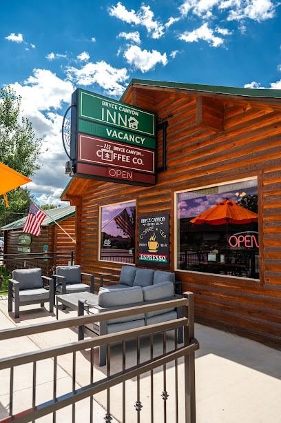
Bryce Canyon Coffee Co.
My go-to before an early sunrise trailhead. It's a snug log-cabin coffee shop in Tropic with a patio out front — I leaned on the banana bread and a cappuccino more mornings than I'll admit, and they also do a solid matcha latte if coffee isn't your thing.
View on Google Maps ↗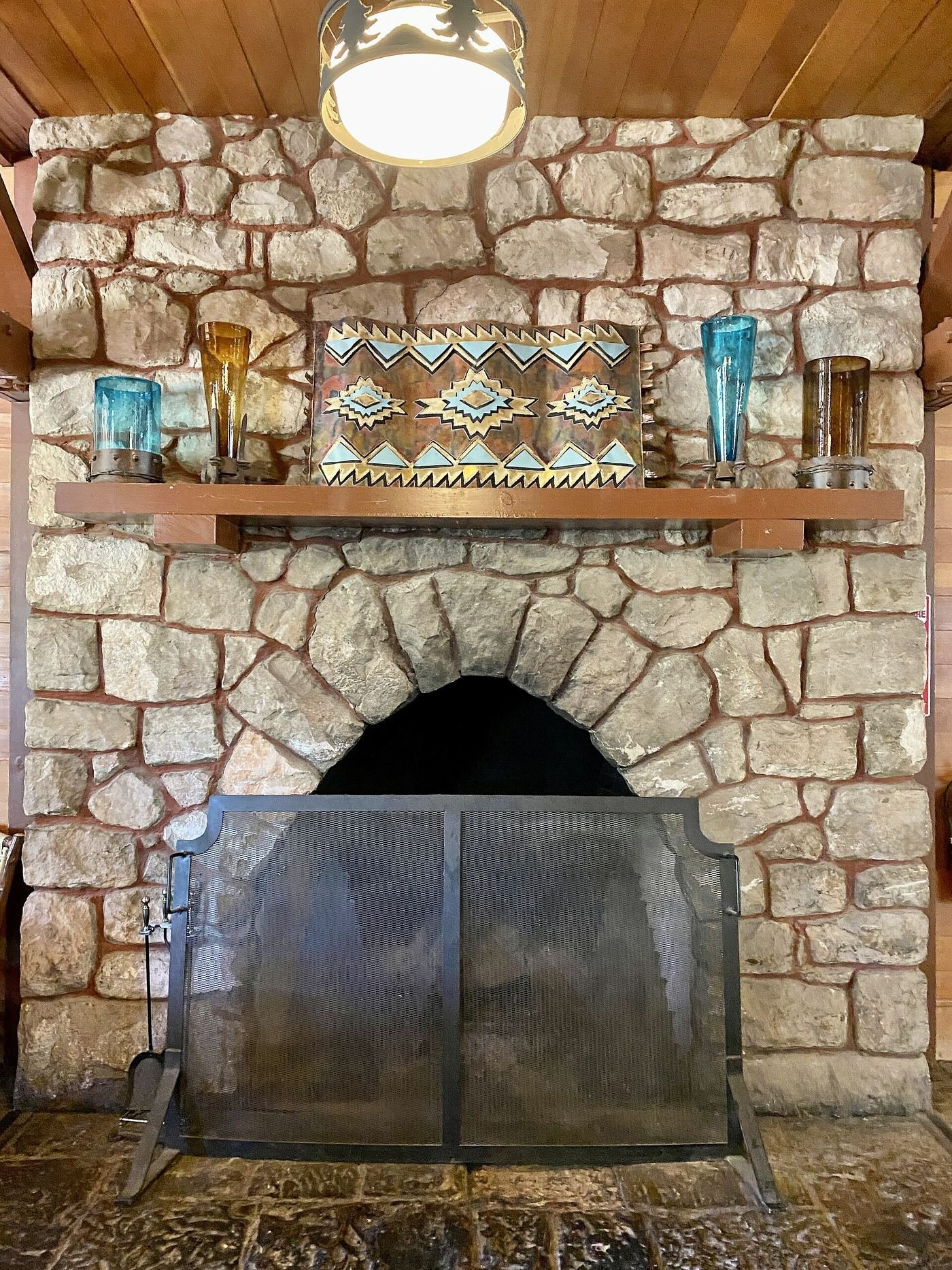
The Lodge at Bryce Canyon Restaurant
Walking distance from the rim, which made it my pick on the nights I didn't want to get back in the car. The dining room has that old lodge feel, and the elk chili and buffalo sirloin are the two things I'd point you toward on the menu.
View on Google Maps ↗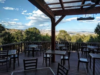
Stone Hearth Grille
I saved this for my one nicer dinner of the trip. It's on the edge of Tropic with a refined, modern-American menu and views looking back toward the park — the kind of place I wanted a reservation for, not a quick stop.
View on Google Maps ↗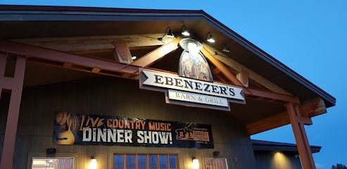
Ebenezer's Barn and Grill
A chuckwagon-style dinner-and-show in Bryce Canyon City, and the families around me were clearly there as much for the live music as the food. Fun, loud, and a nice change of pace from a sit-down restaurant.
View on Google Maps ↗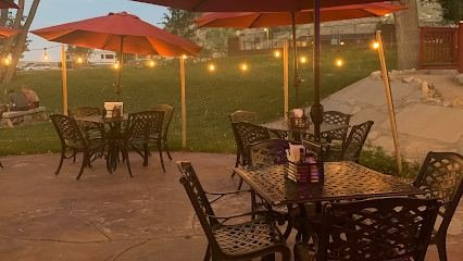
Showdowns Restaurant
Casual steak-and-burger spot in Tropic with live music some nights. I went here on a night I didn't want to think too hard about where to eat, and it did exactly what I needed.
View on Google Maps ↗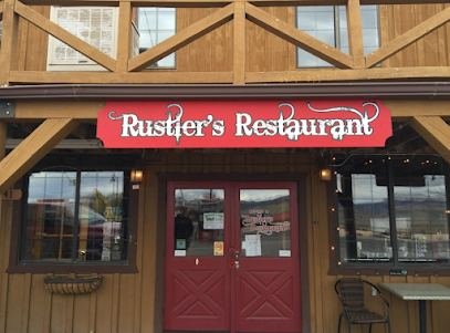
Rustler's Restaurant
Straightforward, rustic-modern menu near Tropic. No-fuss, family-friendly, and an easy choice on a night I just wanted dinner without a production.
View on Google Maps ↗Where I Stayed
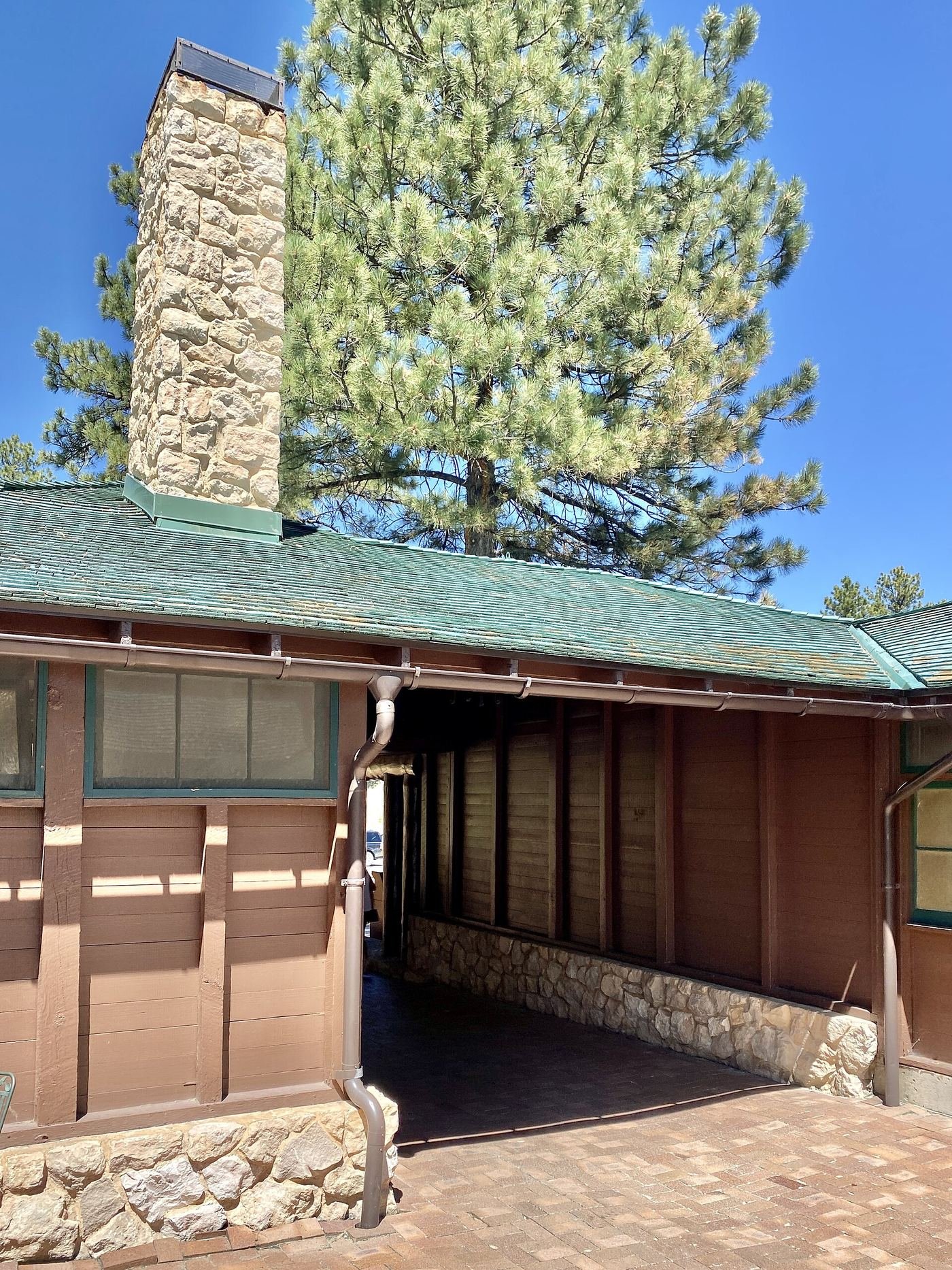
The Lodge at Bryce Canyon
Walking distance from Sunset Point, which made the sunrise start on day one a lot easier than driving in from town. It closes in deep winter some years, so I'd check exact dates before counting on it for a snow trip.
View on Google Maps ↗Bryce Canyon City / Tropic, UT
Just outside the park entrance, with more restaurant and lodging options than staying in-park. This is where I based myself on the trip I gave two full days to.
View on Google Maps ↗North Campground
Walkable to the rim if you're comfortable camping, and by far the cheapest way to sleep close to the amphitheater.
View on Google Maps ↗Build This Exact Trip, Free
I built ParkPlan because I wanted this kind of plan for every park, not just the one I happened to write up. It turns this into a real day-by-day itinerary with your own dates, travelers, and budget.
Start My Bryce Canyon Trip → Or see full park details first at parkplan.org/?park=bryce-canyonNearby Parks to Pair With Bryce Canyon
Building a longer road trip? These guides sit within a day's drive of this one.
Trail stats, shuttle schedules, and pricing are accurate as of publication but change — always confirm current conditions and road status at nps.gov/brca before you go.