
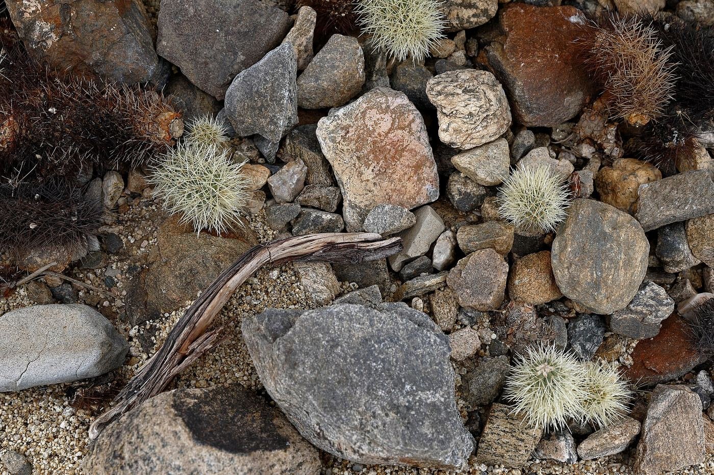
Joshua Tree is the park that convinced me a national park doesn't need waterfalls or canyons to be worth a dedicated trip. It's flatter and lower-key than most of the parks I've written up — most of the hikes here are short, the driving between them is easy, and almost none of it requires a permit or a lottery. That makes it deceptively easy to underplan. This is the guide I wish I'd had: what to do with one day, what I'd add with two, and how I'd spend a full three days once I stopped rushing between the two halves of the park.
If You Only Have 1 Day
One day in Joshua Tree is genuinely enough to see the park's greatest hits, because almost everything here is short. I'd drive Park Boulevard from the west entrance, stopping at the boulder piles and viewpoints along the way, and treat the whole day as a loop rather than one destination.
Hidden Valley Trail — the classic first stop
This is the trail I'd send anyone here on their first hour in the park. It's a flat loop through a natural rock-walled basin that, according to park history, was reportedly used by cattle rustlers to hide stolen stock in the late 1800s — true or embellished, it's easy to see why the story sticks once you're standing inside the enclosure. The lot fills early, so I got there close to opening.
Skull Rock Trail — the one everyone photographs
The rock itself — two eroded hollows that genuinely do look like eye sockets — sits right next to the road, so you can see it in five minutes without hiking a step. I did the full loop instead, which winds through the surrounding boulder field and Jumbo Rocks area and was a lot less crowded than the pullout right at the rock.
Keys View — my go-to last stop
A short paved walk from the parking area to an overlook above the Coachella Valley, with the Salton Sea visible in the distance on a clear day and the San Andreas Fault running along the valley floor below. I timed this for sunset — the light on the peaks behind you at that hour is worth the short drive up.
On the way between stops, I pulled off at Cholla Cactus Garden and Arch Rock — neither takes more than fifteen or twenty minutes, and both are genuinely worth the short detour off Park Boulevard.
Got a 2nd Day? Here's What I'd Add
With a second day, I traded easy strolls for one real climb and one piece of park history. This is where Joshua Tree stops feeling like a drive-through park.
Ryan Mountain Trail — the best view in the park
Short on distance but steady and steep the entire way — no real flat stretches to recover on. The payoff at the top is a 360-degree view over Lost Horse and Queen Valleys, with Joshua trees stretching out in every direction below the rock formations. I started this one early to beat both the crowds and the heat, even in a cooler month.
Barker Dam — history and wildlife in one easy loop
An easy loop to a small dam built by early cattle ranchers to collect scarce desert water, with genuine Native American petroglyphs visible along part of the route. It's also one of the more reliable spots in the park to see wildlife coming to drink, especially early or late in the day.
If you want one more moderate option before calling it a day, Lost Horse Mine Trail leads to the remains of a real 1890s gold mine and stamp mill — a quieter, less-photographed piece of the park's history than Barker Dam.
The Full 3 Days — How I'd Spend Every Hour
By day three, I'd already covered the north end of the park pretty thoroughly, so I used the extra day to head south to Cottonwood Spring — a genuinely different landscape from the boulder-and-Joshua-tree scenery up north, with fan palm oases and a lower, hotter, more classically Sonoran-Desert feel.
Mastodon Peak Trail, Cottonwood Spring
A loop past an old mining claim to a rocky summit with views toward the Salton Sea and the Eagle Mountains — a good introduction to the quieter, less-visited south end of the park. I combined it with the short walk out to Cottonwood Spring itself, a small fan-palm oasis that's an easy 10-minute stop on its own.
For anyone with more time and legs, Lost Palms Oasis Trail continues further south to the largest fan-palm oasis in the park, and Fortynine Palms Oasis Trail — up near the north entrance — is another real desert oasis worth the climb. That trail had a weekday repair closure for storm damage earlier in 2026, so I'd check current status before counting on it. On the wilder end, Willow Hole and Boy Scout Trail push out into more remote parts of the park's namesake Joshua tree woodland, though Boy Scout in particular is set up as a one-way hike and really needs a second car staged at the far end.
Where I Ate
I split my meals between the town of Joshua Tree, right at the west entrance, and the Pioneertown/Yucca Valley area a short drive further out.
Joshua Tree Coffee Company
My go-to before an early trailhead — organic, locally roasted, and open from 7am most days, which matters if you want to beat both the crowds and the heat.
View on Google Maps ↗JT Country Kitchen
A straightforward, no-frills breakfast diner in Joshua Tree town — the kind of place I wanted on a morning when I didn't feel like cooking at the campsite.
View on Google Maps ↗Crossroads Cafe & Tavern
A local favorite for a hearty sit-down lunch on Park Boulevard in Joshua Tree town — good burgers and a full bar if you're done hiking for the day.
View on Google Maps ↗Pie for the People
Now in a bigger space in Yucca Valley after outgrowing its original spot — an easy, no-decision-fatigue dinner after a full day of hiking.
View on Google Maps ↗Pappy & Harriet's
A genuine High Desert institution in Pioneertown — a rustic Western saloon with real barbecue and live music most nights. I'd build an evening around this one, not just a meal.
View on Google Maps ↗La Copine
A destination restaurant out in Flamingo Heights, worth the extra drive for a proper sit-down dinner if that's what the trip needs after a few nights of camp food.
View on Google Maps ↗Where I Stayed
Joshua Tree or Twentynine Palms, CA
The two main gateway towns, with the widest range of hotels and short-term rentals. I'd pick Joshua Tree town if you're focused on the north end, Twentynine Palms if you want quicker access to Cottonwood Spring and the south.
View on Google Maps ↗29 Palms Inn
A genuinely historic property built around the Oasis of Mara in Twentynine Palms, with its own farm-to-table restaurant on site. The closest thing this park has to a distinctive in-park-adjacent stay.
View on Google Maps ↗Jumbo Rocks Campground
In-park camping set right among the boulder formations the park is known for — mostly first-come, first-served, so I'd arrive early in the day to claim a site.
View on Google Maps ↗Build This Exact Trip, Free
I built ParkPlan because I wanted this kind of plan for every park, not just the one I happened to write up. It turns this into a real day-by-day itinerary with your own dates, travelers, and budget.
Start My Joshua Tree Trip → Or see full park details first at parkplan.org/?park=joshua-treeNearby Parks to Pair With Joshua Tree
Building a longer road trip? These guides sit within a day's drive of this one.
Trail stats, closures, and pricing are accurate as of publication but change — always confirm current conditions at nps.gov/jotr before you go.