
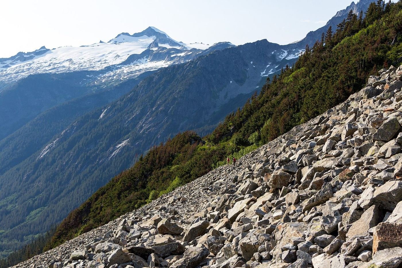
North Cascades is the wild one: more than 300 glaciers, jagged peaks, and almost no development, in a park that's free to enter and still has fewer visitors in a year than Yellowstone gets in a week. It's sometimes called the American Alps, and the comparison is fair. The catch is that the park is mostly roadless, and what you can reach by car is a single highway, Highway 20, that crosses the mountains and closes for the winter.
That makes planning simple and unforgiving. You see the park from the highway and its short trailheads, or you walk. The highway's opening date moves with the snow and, in 2026, with repairs after flood and rockslide damage, so I'd check the state's status before building a trip, and plan the trip in July through September.
If You Only Have 1 Day: Highway 20 and Diablo Lake
If I only had one day, I'd drive Highway 20 from Newhalem to the Diablo Lake overlook, with a few short walks along the way. It's the easiest way to see the best of the park without a big hike.
Diablo Lake Overlook — the signature view
A pullout on Highway 20 with a wide view of Diablo Lake, a reservoir whose water is a striking turquoise, colored by finely ground glacial rock called glacial flour. The color is brightest on a clear afternoon in July and August. It's the most photographed spot in the park, and the one stop I'd never skip.
Thunder Knob Trail — the easy overlook walk
A gentle, mostly shaded walk through old-growth forest to a rocky knob above Diablo Lake, with a view of the water and peaks. It's the best low-effort hike on the highway, and a good one for families.
Happy Creek Forest Walk — the quick forest stop
A short, flat boardwalk loop through old-growth forest, with large cedars and a creek. It's a good, easy stretch for kids or a quick break on the drive.
The Trail of the Cedars and the Gorge Creek Falls viewpoint, both near Newhalem, are quick, easy stops that give a feel for the lowland forest.
Got a 2nd Day? Cascade Pass
With a second day I'd take on Cascade Pass, which is the best-known hike in the park and one of the best in Washington. It's a long day, and it needs a road that isn't always open.
Cascade Pass Trail — the classic
A steady climb of about 1,800 feet up long switchbacks through forest to a high alpine pass with views of glaciers and peaks on every side. It's a big day, but the trail is well built and the payoff is huge. I'd leave early, because the trailhead lot fills and the road is slow.
Ross Dam Trail — the easy walk
A short descent through forest to a view of Ross Dam and the lake behind it. It's a quiet, easy option if the Cascade Pass road isn't open.
Pyramid Lake Trail — the steep short climb
A steep trail that climbs from the Diablo area to a small, quiet lake at the base of a peak. It's a good option if you want a challenge without a long drive.
The Full 3 Days — The Wild Side
With a third day I'd head into the backcountry, which is where the park really is. Most of the trails here are long, steep, and very quiet.
Easy Pass Trail — the steep alpine climb
A steep trail to a high pass with big views of glaciers and peaks, and almost no one else on it. It's a serious day hike that rewards fitness and an early start.
Sourdough Mountain Trail — the lookout hike
A long, steep climb to a fire lookout with a 360-degree view across the park. It's one of the toughest day hikes in the area, but the view is incredible.
Thunder Creek Trail — the valley walk
A flat trail along a glacial creek through old-growth forest, with a big suspension bridge near the start. A good, easy option for a rest day.
Where I'd Eat
There's very little to eat in the park, so I'd plan meals in Marblemount, Rockport, and Winthrop and bring a picnic for the middle of the day.
Buffalo Run Restaurant
A well-known Marblemount restaurant with burgers and hearty plates, a good stop on the west side of the highway.
View on Google Maps ↗Cascadian Farm Farm Stand
A farm stand in Rockport known for organic berries, ice cream, and picnic supplies. A good pre-park stop.
View on Google Maps ↗Old Schoolhouse Brewery
A Winthrop brewpub with pub food, a good dinner on the east side of the mountains.
View on Google Maps ↗Arrowleaf Bistro
A Winthrop restaurant with a more refined menu and a patio, the splurge on the east side.
View on Google Maps ↗Sun Mountain Lodge Dining Room
A lodge restaurant above Winthrop with valley views, a good place for a special dinner.
View on Google Maps ↗Where I'd Stay
There's almost no lodging in the park, so I'd book early or plan on Marblemount or Winthrop.
Ross Lake Resort
A floating-cabin resort on Ross Lake, reached by boat or a hike, which books up many months ahead. A special, remote experience.
View on Google Maps ↗Colonial Creek Campground
A campground on the shore of Diablo Lake with easy access to trails, open in summer.
View on Google Maps ↗North Cascades Inn
A motel near the west entrance of the park, one of the few lodging options on that side.
View on Google Maps ↗Build This Exact Trip, Free
I built ParkPlan because I wanted this kind of plan for every park, not just the one I happened to write up. It turns this into a real day-by-day itinerary with your own dates, travelers, and budget.
Start My North Cascades Trip → Or see full park details first at parkplan.org/?park=north-cascadesNearby Parks to Pair With North Cascades
Building a longer road trip? These guides sit within a day's drive of this one.
Highway status, road openings, and seasonal facility dates change from year to year — always confirm current conditions, road status, and reservation rules at nps.gov/noca before you go.