
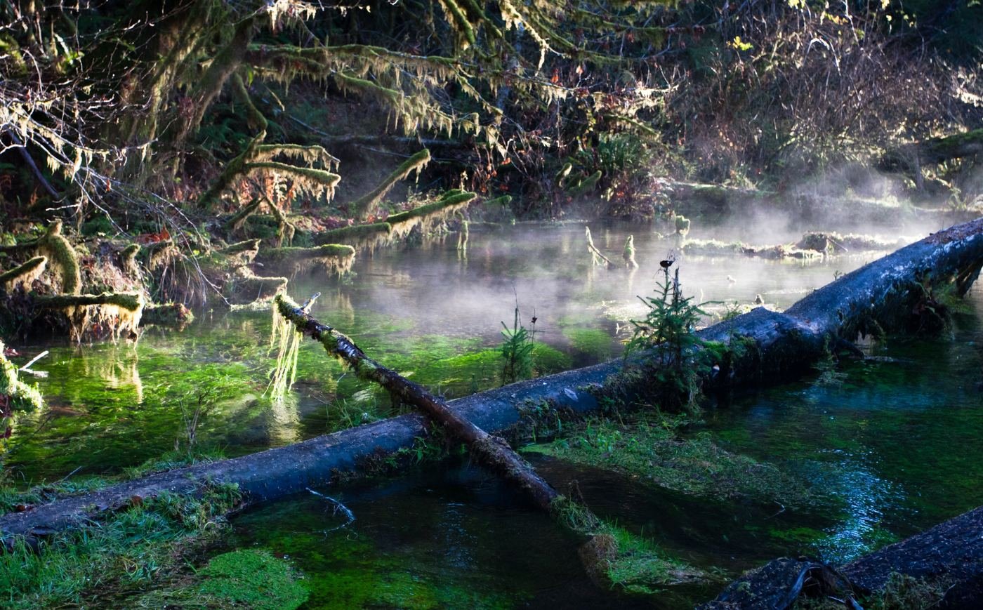
Olympic is unlike any other park I've written up, because it isn't really one landscape — it's three, stitched onto the same peninsula and connected by a long ring road. There's a temperate rainforest dripping with moss, a wild Pacific coastline of sea stacks and driftwood, and an alpine ridge with the Olympic Mountains on one side and the Strait of Juan de Fuca on the other. The mistake I almost made was trying to zigzag between all three in one day — don't. Give each region its own day, and this is the guide I wish I'd had for doing exactly that.
If You Only Have 1 Day: The Hoh Rainforest
If I only had one day, I'd spend it in the Hoh. It's the region that looks the least like anywhere else in the continental U.S. — bigleaf maples draped so heavily in club moss that the branches look upholstered, and a quiet so complete you can hear a raindrop land three trees over. No timed-entry permit is needed for day hiking here as of this writing — it's walk-up, just the standard park entrance fee.
Hall of Mosses — the one you can't skip
This short loop is the single most photographed stretch of the rainforest, and it earns it — a grove of moss-draped bigleaf maples that genuinely looks unreal in person, let alone in a photo. It's an easy, mostly flat boardwalk-and-dirt loop, which meant I had it crowded by mid-morning; I went right after the visitor center opened and had long stretches almost to myself.
Spruce Nature Trail — the quieter loop
Starting from the same trailhead area as Hall of Mosses but far less crowded, this loop runs closer to the Hoh River itself, through stands of Sitka spruce and past a couple of side channels where I watched the current braid around gravel bars. I did this one after Hall of Mosses as a way to see more forest without doubling back on the same crowded path.
If I had energy left, I'd push partway up the Hoh River Trail before turning back — you don't need to commit to the full distance to get a feel for it.
Hoh River Trail — as far as I felt like going
This is the approach trail for backpackers headed toward Blue Glacier and the base of Mount Olympus, but as a day hiker I just walked in as far as felt good and turned around — there's no rule that says you have to reach Five Mile Island. The trail stays close to the river through old-growth forest the entire way, and even a couple of miles in gave me a much quieter, wilder version of the rainforest than the two short loops near the visitor center.
Got a 2nd Day? Head to the Coast
The coast is a different park entirely — driftwood logs the size of small cars, sea stacks standing offshore, and tide pools that only show themselves for a couple of hours around low water. I checked a tide table before I went, and I'd tell anyone to do the same — several of these hikes are genuinely tide-dependent, not just nicer at low tide.
Rialto Beach to Hole-in-the-Wall — my pick for the full coastal experience
Flat beach walking on packed sand and cobble out to a sea arch you can walk through at low tide. Certain headlands along this stretch become impassable above roughly a 5-foot tide, so I timed my hike to start within a couple of hours of low tide and had no trouble. It's also just a genuinely striking walk even without reaching the arch — sea stacks offshore the entire way.
Second Beach — the shorter, easier coastal fix
A short forested walk drops you onto a wide beach with some of the most photogenic sea stacks on this stretch of coast. I'd send anyone here who wants the classic Olympic coast photo without committing a half day to it.
If time allowed, I'd add Third Beach in the same day — it's a similar short forest approach to another sweep of driftwood-strewn sand, just far enough from Second Beach and Rialto that it doesn't feel repetitive.
The Full 3 Days — Hurricane Ridge and the Alpine Side
By day three I'd covered the rainforest and the coast, so I spent the last day on the complete opposite end of the elevation spectrum — up at Hurricane Ridge, where the Olympic Mountains spread out on one side and the Strait of Juan de Fuca and Canada's Vancouver Island are visible on the other, weather permitting. Note that the original day lodge burned down in 2023 and hasn't been rebuilt — there are only temporary restroom trailers and a contact station up there now, no indoor facilities, so I brought my own food and water rather than counting on buying anything at the top.
Hurricane Hill — the best view for the effort
A paved-then-gravel trail climbing through subalpine meadow to a summit with a genuinely huge view — the interior Olympic Mountains in one direction, Port Angeles and the Strait in the other. I saw more wildlife here than anywhere else in the park, mostly black-tailed deer that were completely unbothered by hikers.
Cirque Rim Trail — if I'm short on time or energy
A paved, nearly flat walk right from the parking area with a real payoff — sweeping views into the glacial cirque below Hurricane Ridge. This is the one I'd do even in bad weather or with very little time, since it needs almost no commitment.
On the way back down toward Port Angeles or Lake Crescent, I stopped for two more that don't fit neatly into either the alpine or the rainforest category but are worth building into the same day.
Marymere Falls — the easy add near Lake Crescent
A short, shaded walk through old-growth forest to a 90-foot falls dropping into a narrow, mossy gorge. It's an easy detour if you're driving between Hurricane Ridge and points west on Highway 101.
Where I Ate
Port Angeles is the biggest gateway town and central to all three regions, so that's where I based most of my meals; a couple of these are worth the drive out toward Forks if you're staying on that side of the park.
First Street Haven
My go-to before an early Hoh or Hurricane Ridge drive — solid coffee and a straightforward breakfast menu a block off the water in downtown Port Angeles.
View on Google Maps ↗Chestnut Cottage Restaurant
A family-friendly local favorite with a genuinely broad menu — I went for the creme brûlée French toast on a slower morning and don't regret it.
View on Google Maps ↗Jasmine Bistro
The best casual dinner I had in Port Angeles — fresh, properly spiced Thai food and good cocktails in a cozy room, a nice change of pace after a day of trail food.
View on Google Maps ↗Spruce
Laid-back, with genuinely good burgers and a solid local craft beer list — an easy no-decision-fatigue dinner after a long coastal hiking day.
View on Google Maps ↗The 929 — A Woodfired Grill
I saved this for my last night — wood-fired steaks and seafood in a rustic, elevated room, the nicest sit-down dinner in town.
View on Google Maps ↗Blakeslee's Bar and Grill
If you're staying near the Hoh or the far coast, this casual spot in Forks is the easy, unpretentious dinner option — pub food, a couple of pool tables, and a genuinely local crowd.
View on Google Maps ↗Where I Stayed
Port Angeles, WA
The most central base for hitting all three regions in separate day trips, with the widest range of hotels and the most restaurant variety. This is where I based myself.
View on Google Maps ↗Lake Crescent Lodge
A historic lakeside lodge open seasonally, roughly spring through fall — book ahead, since rooms go fast in summer. Waking up on the lake shore instead of driving out from town is worth the reservation hassle if you can plan far enough ahead.
View on Google Maps ↗Kalaloch Campground
In-park and right on the coast near Kalaloch Lodge — a good option if you're comfortable camping and want to fall asleep to the sound of the ocean.
View on Google Maps ↗Build This Exact Trip, Free
I built ParkPlan because I wanted this kind of plan for every park, not just the one I happened to write up. It turns this into a real day-by-day itinerary with your own dates, travelers, and budget.
Start My Olympic Trip → Or see full park details first at parkplan.org/?park=olympicNearby Parks to Pair With Olympic
Building a longer road trip? These guides sit within a day's drive of this one.
Trail stats, tide dependencies, and closures are accurate as of publication but change — always confirm current conditions, road status, and tide tables at nps.gov/olym before you go.