
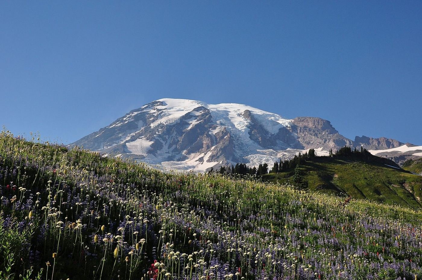
Mount Rainier is the kind of park where the mountain decides your day. At 14,411 feet, it makes its own weather, and on a clear summer morning it's overwhelming; on a cloudy one you may not see it at all. I'd plan the trip assuming you'll get one great day and one so-so one, and build flexibility so the clear day goes to the highest-value stop.
There are really two sides to the visit: Paradise, on the south side, with its meadows and the Skyline Trail, and Sunrise, on the northeast, which is higher, quieter, and views the mountain from a different angle. If I only had one day I'd pick Paradise; with two, I'd add Sunrise; with three, I'd add a quieter corner like Longmire or Ohanapecosh.
If You Only Have 1 Day: Paradise
If I only had one day, I'd spend it at Paradise, at 5,400 feet on the south side of the mountain. The meadows, the glaciers close overhead, and the Skyline Trail are the park's signature, and it's the stop that works even if you're not a hardcore hiker.
Skyline Trail — the signature loop
The classic loop climbs through wildflower meadows to the Panorama Point area, with views of the Nisqually Glacier and, on clear days, the Tatoosh Range and Mount Adams and St. Helens in the distance. It's steep, with roughly 1,700 feet of gain, but it's also the single best day hike in the park. I'd go counterclockwise early, before the afternoon clouds build.
Nisqually Vista Trail — the easy option
A gentle loop from the Jackson Visitor Center to a vista above the Nisqually Glacier. It's the best short option if the Skyline Trail feels like too much, or if clouds are moving in.
Trail of the Shadows — the quick history loop
A flat loop at Longmire through a forest and meadow, passing a historic cabin and mineral springs. It's a nice short add on the drive in or out, and it's flat enough for any age.
If the clouds roll in, the Comet Falls Trail, about 3.8 miles round trip, is a good waterfall hike that's often clearer in cloudy weather.
Got a 2nd Day? Drive Around to Sunrise
The second day is a drive to the northeast side of the park. Sunrise, at about 6,400 feet, is the highest point you can reach by road, and the views of the mountain — and of the Emmons Glacier, the largest in the contiguous U.S. — are different and, in my opinion, less crowded.
Sourdough Ridge Trail — the easy ridge walk
A steady climb up a ridge with views of Mount Rainier on one side and the Cascades on the other, ending at Dege Peak. It's one of the best effort-to-view ratios in the park.
Mount Fremont Lookout — the historic lookout
A trail along the Sourdough Ridge to a historic fire lookout at about 7,181 feet, with big views and a good chance of mountain goats. It's the trail I'd pick if I had time for one longer walk on this side.
Emmons Vista — the quick glacier viewpoint
A short roadside stop on the drive up that overlooks the Emmons Glacier. Worth the pull-off for a photo.
The Full 3 Days — Reflection Lakes and the Quieter Side
With three days I'd add a half day to lakes and the quieter corners of the park, because the weather rarely cooperates for all three days at the high-country trails.
Reflection Lakes — the postcard reflection
A pair of small lakes along the Stevens Canyon Road that, on a calm morning, mirror the mountain. It's an easy stop, and the best time is shortly after sunrise, before the wind picks up.
Naches Peak Loop — the wildflower walk
A scenic loop from Tipsoo Lake, with meadows and a long view of Rainier, and usually fewer people than Paradise. It's a nice alternative if Paradise is crowded.
Silver Falls Loop — the shaded waterfall
A shaded loop through old-growth forest at the Ohanapecosh side of the park, ending at a waterfall. It's a good wet-weather option.
Where I'd Eat
Dining inside the park is limited, and the lodges book up months ahead for summer, so I'd base some meals in Ashford, the gateway town just outside the southwest entrance.
National Park Inn Dining Room
The only in-park dining facility open all year, at Longmire. It's a straightforward lodge dining room and a good meal after the long drive in.
View on Google Maps ↗Paradise Inn Dining Room
The big, historic lodge dining room at Paradise, open seasonally from May to early October. I'd book dinner in advance in peak summer weeks.
View on Google Maps ↗Sunrise Day Lodge Snack Bar
A seasonal snack bar at Sunrise, typically open July through September. It's a coffee-and-sandwich stop, not a meal.
View on Google Maps ↗Wildberry Restaurant
A well-known Ashford restaurant with a hearty menu — the place I'd go for a big breakfast before a long hiking day.
View on Google Maps ↗Copper Creek Inn
A longtime Ashford spot, known for its blackberry pie and straightforward home cooking.
View on Google Maps ↗Alexander's Lodge
A historic lodge in the nearby town of Elbe, with a dining room and a more relaxed atmosphere. It's a good spot for a quieter dinner.
View on Google Maps ↗Where I'd Stay
The in-park lodges are the dream, and they book out early for summer, so I'd reserve as soon as I had dates. Ashford is the practical backup.
Paradise Inn
A historic lodge at 5,400 feet, open seasonally from May to early October. It's the best location in the park, and it books out well in advance for summer.
View on Google Maps ↗National Park Inn
A smaller lodge at Longmire, open year-round, that makes a good base for the south side of the park.
View on Google Maps ↗Ashford, WA
The closest town to the Nisqually entrance, with a mix of cabins, motels, and lodges. It adds about 20 minutes each way to Paradise, but it's the most practical option.
View on Google Maps ↗Build This Exact Trip, Free
I built ParkPlan because I wanted this kind of plan for every park, not just the one I happened to write up. It turns this into a real day-by-day itinerary with your own dates, travelers, and budget.
Start My Mount Rainier Trip → Or see full park details first at parkplan.org/?park=mount-rainierNearby Parks to Pair With Mount Rainier
Building a longer road trip? These guides sit within a day's drive of this one.
Timed-entry rules, road openings, and snow conditions change from year to year — always confirm current conditions, road status, and reservation rules at nps.gov/mora before you go.